



It's been a very warm day for May, but a series of cold fronts will cool things down a bit in the coming days.
A few showers are developing ahead of the first front in northern Wisconsin. There is a tiny chance these showers make it to Fond du Lac and Sheboygan.
Most of us stay dry through the night.
Watch the full 7-Day Forecast below:
Another front brings a small chance for showers and storms tomorrow afternoon. Our best chance will be well inland, where more instability builds with more warmth through the day.
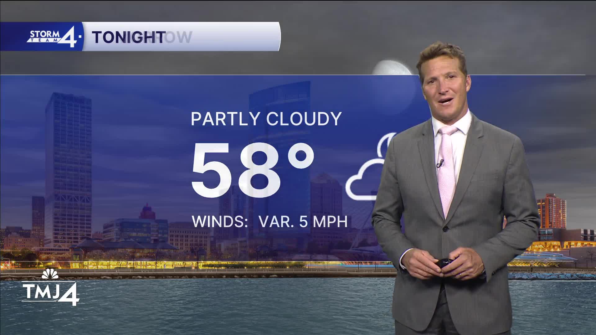
TONIGHT:
Partly Cloudy
Low: 58
Wind: Variable 5 mph
WEDNESDAY: Mostly Sunny. Slight Ch. Showers Late
High: 75 Lake Inland: 82
Wind: NE 5-10 mph
THURSDAY: Mostly Sunny
High: 66 Lake 72 INland
FRIDAY: Sunny
75 Lake 78 Inland
SATURDAY: Sunny
High: 75 Lake 81 Inland
It’s about time to watch on your time. Stream local news and weather 24/7 by searching for “TMJ4” on your device.
Available for download on Roku, Apple TV, Amazon Fire TV, and more.
