

Sunday was another sunny, mild and dry day across Southeast Wisconsin.
Temperatures reached 70s lakeside and 80s inland.
On Sunday night, we fall to 50 degrees with mostly cloudy skies and light northeasterly winds.
Temperatures will slowly warm up this week.
Watch: With May being so dry, when could we next see some needed rain?
Monday we will see partly cloudy skies and temperatures in the low 70s.
High temperatures are in the 70s lakeside and 80s inland Tuesday.
By the end of the week, 80s for everyone.
We are hours away from declaring this the driest May on record.
The current record sits at 0.41" of rain in May 1885. We have seen 0.36" this May.
After the wettest April on record, we are starting to see drought conditions creep into Wisconsin.
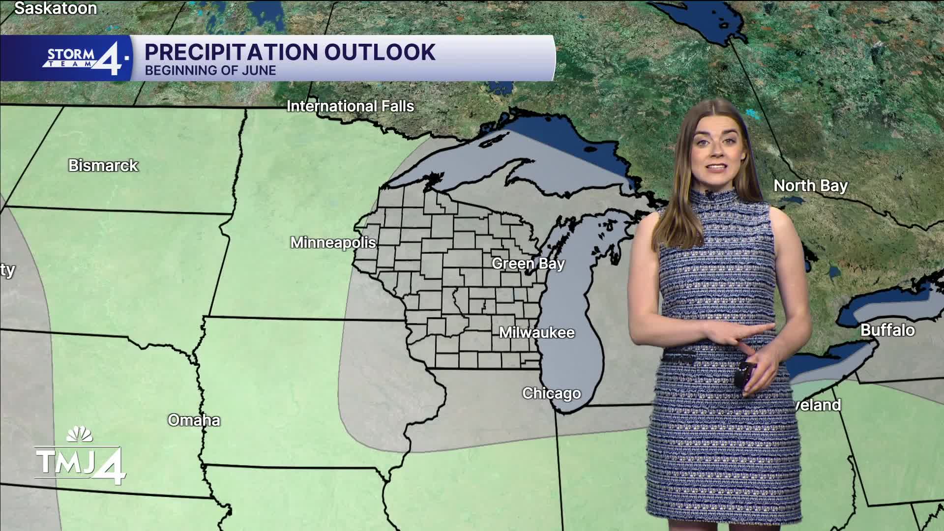
The first week of June looks mostly dry and warm. We are all hoping for some rain.
Unfortunately we have to wait for Thursday night for some showers.
SUNDAY NIGHT: Mostly cloudy
Lows: 52
Wind: NE 5 mph
MONDAY: Partly cloudy
Lakefront high: 72
Inland high: 76
Wind: NE 5-10 mph
TUESDAY: Mostly sunny
Lakefront high: 74
Inland high: 80
Wind: E 5 mph
WEDNESDAY: Mostly sunny
High: 80
THURSDAY: Partly cloudy, chance of rain late.
High: 85
FRIDAY: Chance of showers and storms.
High: 86
It’s about time to watch on your time. Stream local news and weather 24/7 by searching for “TMJ4” on your device.
Available for download on Roku, Apple TV, Amazon Fire TV, and more.
