



Storms have fired west and continue to move east. Some storms may be strong to severe at times, with hail and damaging winds up to 60 mph being the primary threats. Through early evening, it's mainly below severe limits, with late evening along the cold front bringing the primary threat of severe weather until 9/10 pm.
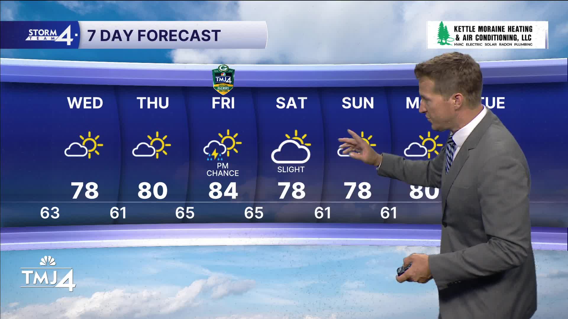
Check out the forecast:
After this, it's smooth sailing for a few days. Humidity takes a hike for Wednesday and Thursday, with highs in the upper 70s and low 80s. Rain likely returns to the forecast Thursday night into Friday morning. The weekend is looking dry for now.
TONIGHT: Storms ending. Humidity drops.
Low: 63
Wind: NW 5-10
WEDNESDAY: Mostly sunny, less humid.
High: 77
Wind: NE 5-10
THURSDAY: Mostly sunny, pleasant.
High: 80
Wind: S 5-10
FRIDAY: Partly cloudy, sl chance.
High: 82
Wind: SW 10-15
SATURDAY: Mostly sunny, sticky.
High: 77
Wind: NW 5-10
SUNDAY: Sunny and less humid.
High: 75
Wind: NW/NE 5-10
It’s about time to watch on your time. Stream local news and weather 24/7 by searching for “TMJ4” on your device.
Available for download on Roku, Apple TV, Amazon Fire TV, and more.
