

*****AIR QUALITY ALERT UNTIL 11PM FRIDAY FOR FOND DU LAC, DODGE, SHEBOYGAN, WASHINGTON, OZAUKEE, MILWAUKEE, WAUKESHA, RACINE, AND KENOSHA COUNTIES****
Clouds and showers kept temperatures cooler for much of the day, but just like yesterday, afternoon sunshine is quickly giving our temperatures a boost. We'll likely top out around 90 in Milwaukee with a heat index near 100.
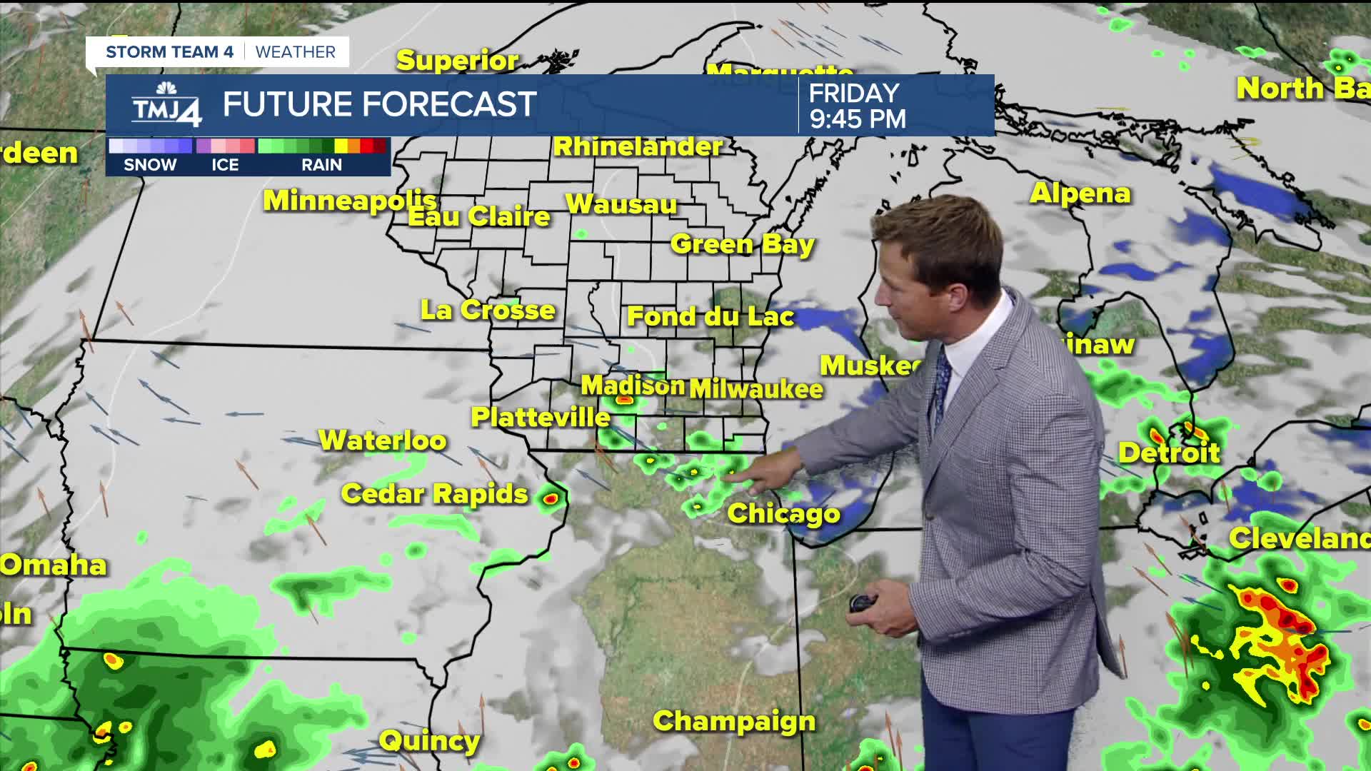
A few widely scattered showers and storms still may pop up early this evening. Severe weather is not expected, but an isolated downpour is possible.
Air quality concerns return to the area:
Wildfire smoke returns to the area on Friday. It won't be as muggy, but higher humidity will linger on Friday and into the weekend.
As a frontal boundary stalls to our south, a better chance for showers and storm will develop on Saturday. Heat builds again on Sunday.
TONIGHT: Ch. Showers/Storm Early and still humid
Low: 73
Wind: W 5-10 mph
FRIDAY: Partly Cloudy and Still Humid
High: 83
SATURDAY: Warm and Humid with Scattered Showers and T-Storms
High: 82
SUNDAY: Mostly Sunny, Hot, and Humid
High: 90
MONDAY: Slight Ch. Morning Showers/storms. Hot and Humid
High: 90
It’s about time to watch on your time. Stream local news and weather 24/7 by searching for “TMJ4” on your device.
Available for download on Roku, Apple TV, Amazon Fire TV, and more.
