

It was a slushy, wet night for many of us last night. As expected, there was more snow to the north with a few reports of snow in FDL county of 5"+ of snow!
We will see all of this slush freeze overnight. Overnight lows will fall into the single digits with wind chill values approaching zero degrees.
Highs will be in the 20s for tomorrow, and we can finally expect some sunshine!
Watch: When a deep freeze sets in
Storm Team 4 is monitoring a series of clipper systems that bring a daily chance of snowfall through the start of the weekend.
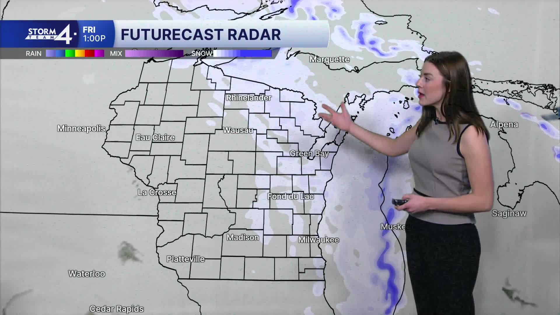
Thursday's snow chance has largely shifted SW of the TMJ4 viewing area. A quick hit of snow is expected early Friday and again on Saturday.
We'll be watching the tracks of these clippers carefully. As of Wednesday morning, these bring minor accumulations (up to 1") for parts of southern Wisconsin.
A deep freeze sets in this weekend, with low temperatures below zero. Wind chills may reach -15 to -20°F in some spots. Afternoon highs may barely climb out of the single digits.
We are looking to warm up significantly by the middle of next week! (maybe even see average highs! woo!)
TONIGHT: Clouds Decrease, Cold
Low: 9
Wind: NW 10 mph
THURSDAY: Mostly Sunny
High: 20
Wind: W 5-15 mph
FRIDAY: Chance Snow
High: 26
Wind: W 5-15 mph
SATURDAY: Chance Flurry; Very Cold
Wind Chill -10
High: 9
SUNDAY: Mostly Sunny, Very Cold
Wind Chill: -20
High: 9
MONDAY: Partly Cloudy
High: 14
It’s about time to watch on your time. Stream local news and weather 24/7 by searching for “TMJ4” on your device.
Available for download on Roku, Apple TV, Amazon Fire TV, and more.
