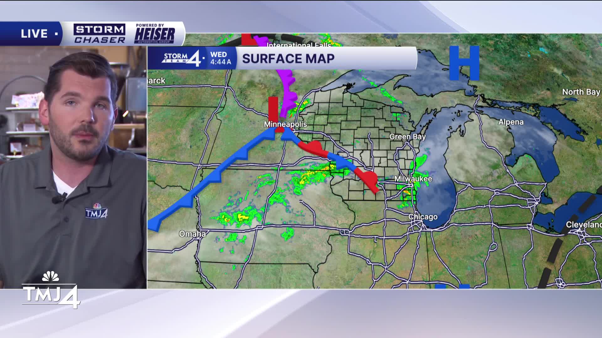

Scattered showers are rolling through southern Wisconsin this morning. An isolated rumble of thunder can't be ruled out, but some light to steady rain is possible through the morning commute. After a lull in rain late morning/early afternoon, additional showers/storms are possible during the late afternoon/evening hours.
The strongest storms will be capable of hail and gusty winds. A Marginal (Level 1) risk of severe weather is in place across most of Wisconsin. 0.50" to 1.00" of rainfall is possible through tomorrow.
Rain comes to an end tonight as lows drop to around 60-degrees.
Calmer weather returns this weekend as highs slowly climb through the 70s and into the 80s.
A ridge of high-pressure sets up next week. Hot & humnid weather is expected — with highs jumping well into the 90s.
WEDNESDAY: AM Showers; Chance PM Storms
High: 73
Wind: S 5-10 mph
TONIGHT: Storms Ending; Cloudy
Low: 60
Wind: W 5 mph
THURSDAY: Slight Chance Showers; Partly Sunny
High: 72
Wind: NW 5-10 mph
FRIDAY: Mostly Sunny
High: 70 Lake 75 Inland
SATURDAY: Mostly Sunny
High: 75 Lake 80 Inland
SUNDAY: Partly Cloudy
High: 82 Lake 87 Inland
It’s about time to watch on your time. Stream local news and weather 24/7 by searching for “TMJ4” on your device.
Available for download on Roku, Apple TV, Amazon Fire TV, and more.
