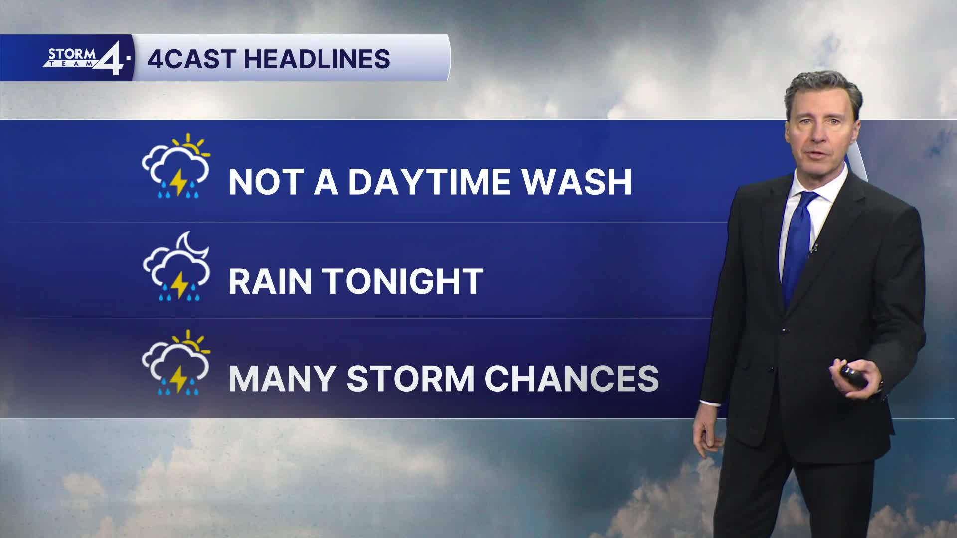

We have a warm front lifting north today that will bring us a few scattered daytime showers or a storm. It will NOT be a washout by any means. The things you will notice most will be the warm temperatures and wind. Highs will top out in the mid 70s with SW winds gusting up to 35 MPH at times.
Tonight will be our best shot at widespread showers or possibly a t'storm. It will be breezy and mild with lows in the mid 50s.
Monday during the daytime, there will be only a slight chance of a shower or storm. With the atmospheric ingredients in place, anything that would develop has the chance to be strong to possibly severe. Highs Monday will be warm again with temps in the mid 70s.
WATCH: Will we see storms this week?
That chance of strong storms continues Monday night.
It's the same story for Tuesday with warm weather and chances of storms. Anything that would develop on Tuesday or Tuesday night has the potential to be strong to severe. Highs will top out in the mid 70s.
There's a good shot at rain or a few storms on Wednesday with cooler highs in the low 60s.
Temperatures remain rather mild into the end of the upcoming week.
HERE'S YOUR LATEST STORM TEAM WEATHER FORECAST FOR MILWAUKEE
AND SOUTHEASTERN WISCONSIN BY METEOROLOGIST MICHAEL FISH
TODAY: Mostly cloudy, windy and warm with a few scattered showers
or a t'storm.
High: 74.
Wind: SW 10-20 gusting to 35 MPH.
TONIGHT: Mostly cloudy with showers and possibly a t'storm.
Breezy and mild with patchy fog possible late.
Low: 56.
Wind: SW 10-15 gusting to 30 MPH.
MONDAY: Partly to mostly cloudy and warm with a slight chance
of a shower or t'storm.
High: 76.
Wind: SW 6-12 MPH.
TUESDAY: Partly to mostly cloudy and warm
with a chance of scattered showers and t'storms.
High: 75.
WEDS: Mostly cloudy with scattered showers
and t'storms.
High: 63.
THURS: Partly cloudy.
High: 68.
It’s about time to watch on your time. Stream local news and weather 24/7 by searching for “TMJ4” on your device.
Available for download on Roku, Apple TV, Amazon Fire TV, and more.
