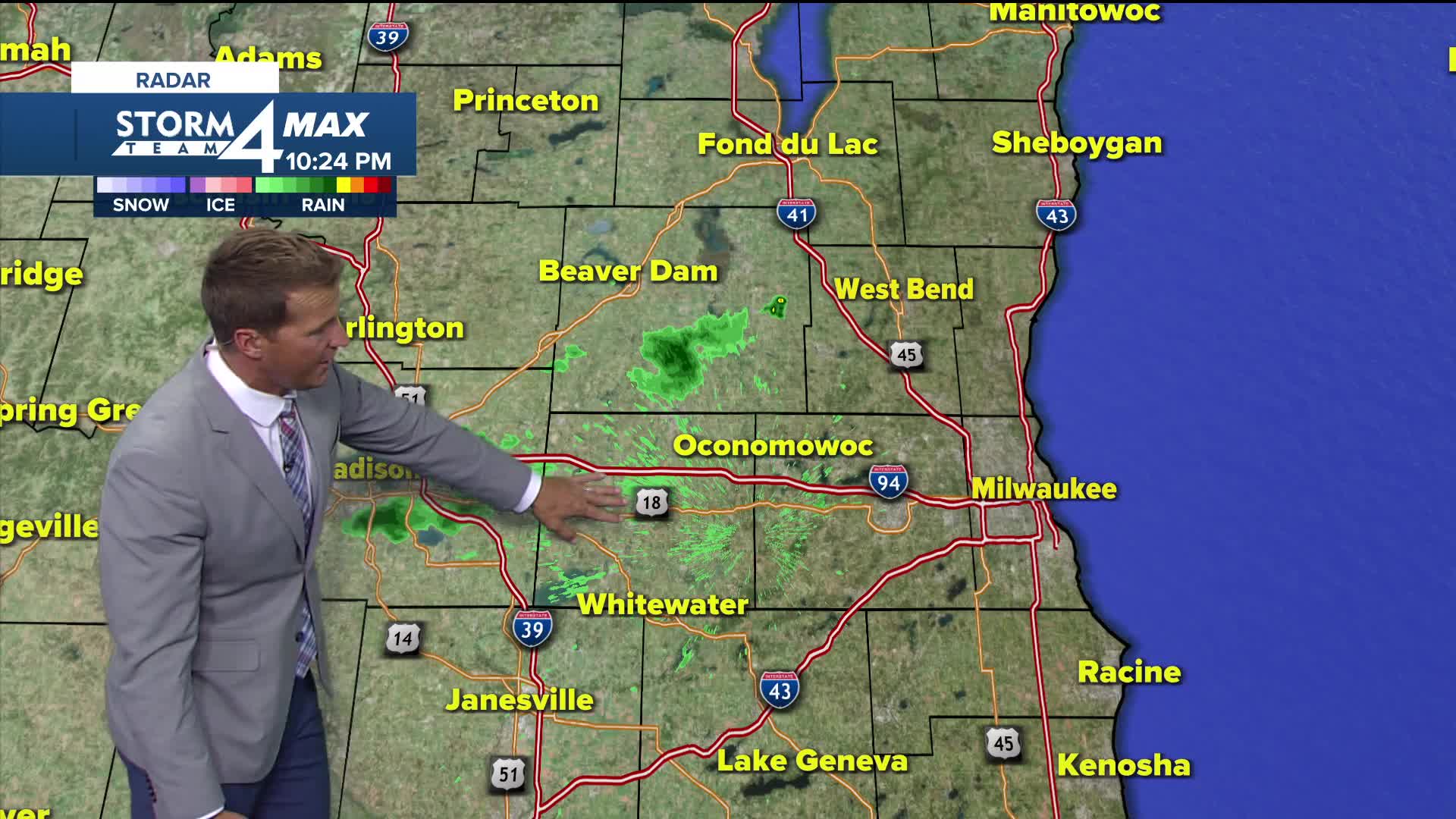


We've had a few showers roll through this afternoon and I cannot rule out another stray shower this evening.
Thankfully, the humidity heads down a bit tonight with dew points around 60. The best day of the week will probably be Tuesday with a lot of sunshine and temperatures around 80 degrees.
When scattered showers and storms could pop up:
Temperatures and humidity will be on the rise again for the second half of the week. Plan for a hot and humid 4th of July. This will also lead to a few chances for thunderstorms. The next chance will be Wednesday evening followed by a slight chance on Thursday.
TONIGHT: Iso. Showers Early. Bec. Mainly Clear
Low: 64
Wind: W 5-10 mph
TUESDAY: Sunny and Warm
High: 83
Wind: NW 5-10 mph
WEDNESDAY: Mostly Sunny and Very Warm. Ch. Showers/Storms Late
High: 87
THURSDAY: Partly Cloudy. Slight Ch. T-Storms
High: 88
FRIDAY: Mostly Sunny, Hot, and Humid
High: 91
SATURDAY: Partly Cloudy. Ch. Showers/Storms Late
High: 90
It’s about time to watch on your time. Stream local news and weather 24/7 by searching for “TMJ4” on your device.
Available for download on Roku, Apple TV, Amazon Fire TV, and more.
