

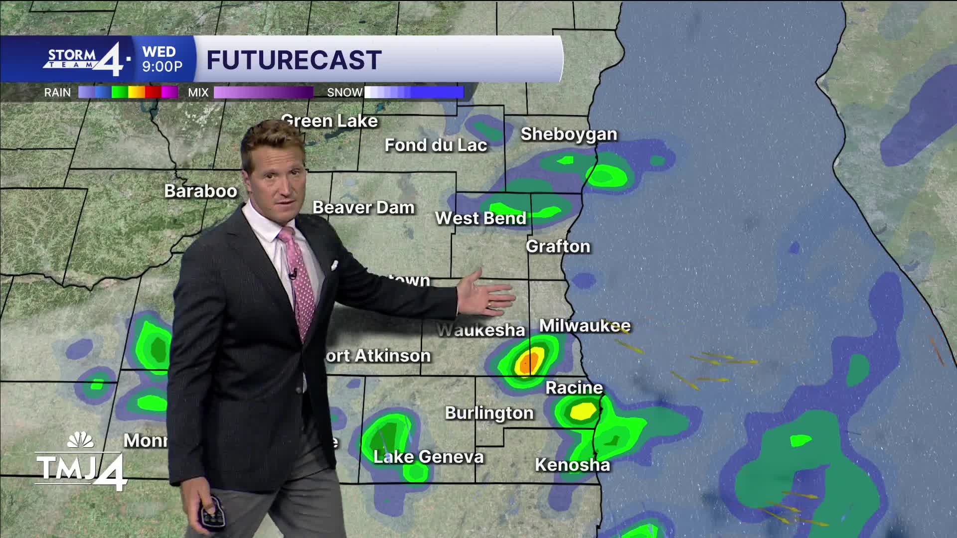


The potential for widespread heavy rain fizzled out today, but we're still left with a chance for a few evening showers. An isolated downpour is possible, but most locations won't pick up much rain accumulation. No severe weather is expected. Heads up for the chance of fog later tonight and into tomorrow morning.
High humidity sticks around the rest of the week and may even ramp up this weekend. We should see a good deal of sunshine for the rest of the week and into the weekend, but the higher humidity may lead to scattered storm development this weekend.
WATCH: Find out when you’ll need the umbrella
HERE'S YOUR LATEST STORM TEAM WEATHER FORECAST FOR MILWAUKEE
AND SOUTHEASTERN WISCONSIN BY METEOROLOGIST BRIAN NIZNANSKY.
TONIGHT: Scattered Showers Early. Humid with Ch. Fog
Low: 65
Wind: Calm
THURSDAY: Ch. Fog Early. Mostly Sunny
High: 78
Wind: E 5-10 mph
FRIDAY: Mostly Sunny, Warm, and Humid
High: 84
SATURDAY: Partly Cloudy, Warm, and Humid. Slight Ch. PM T-Storms
High: 85
SUNDAY: Partly Cloudy and Humid. Ch. T-Storms
High: 84
It’s about time to watch on your time. Stream local news and weather 24/7 by searching for “TMJ4” on your device.
Available for download on Roku, Apple TV, Amazon Fire TV, and more.
