

With more heat and storms on the way, today will probably end up being our best day of the week.
A slow increase in humidity begins tonight, and temperatures start warming up again tomorrow.
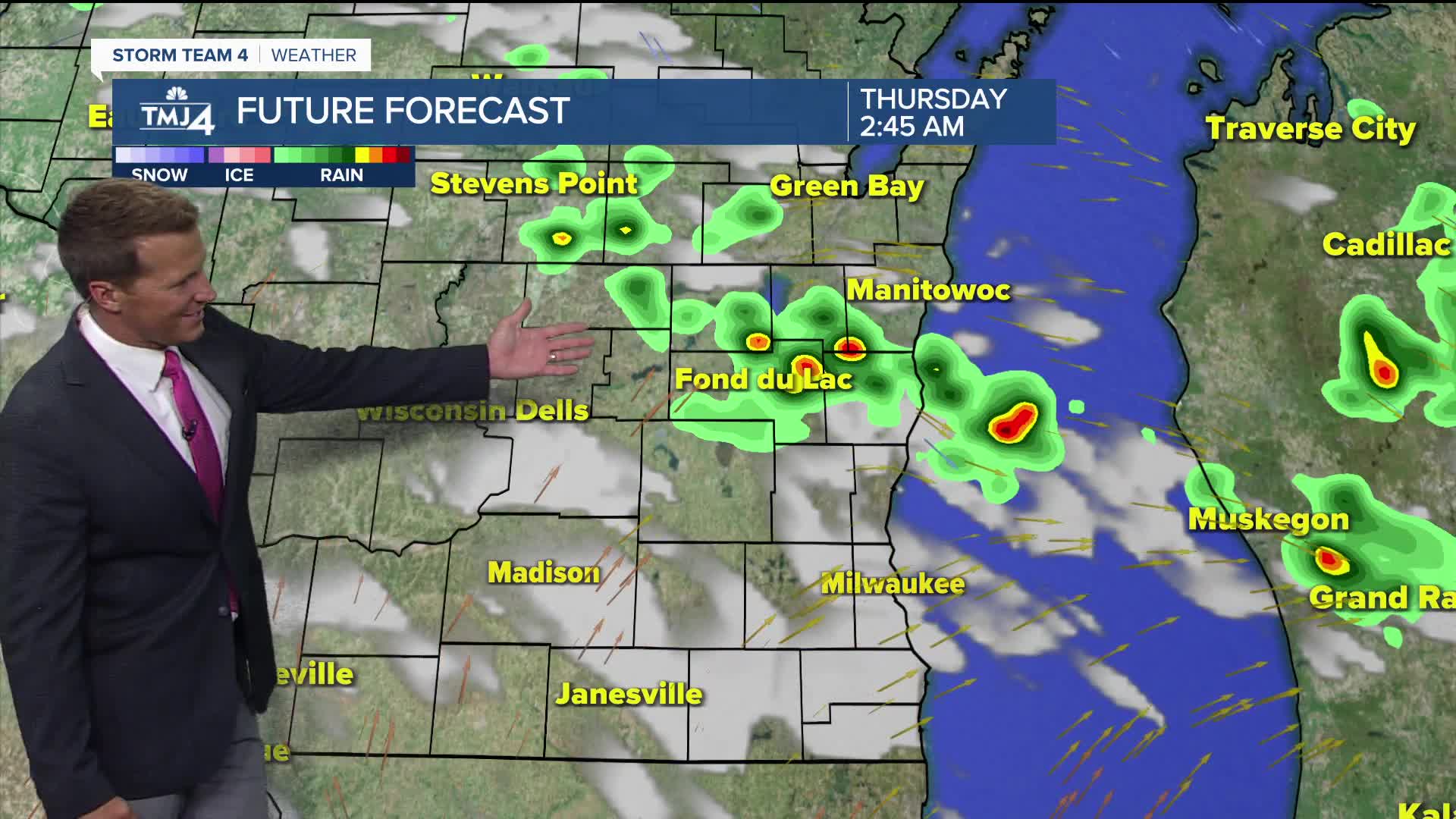
The increased heat and humidity will lead to a few storm chances in the coming days. Our next chance arrives late tomorrow afternoon, with the best chance north of Milwaukee.
When storm chances return:
A stray pop-up storm is possible Thursday, followed by a little better chance for storms late Thursday night and into Friday morning.
Keep this chance in mind if you're up early setting up for a 4th of July Parade. High temperatures by the 4th of July likely top 90 degrees.
TONIGHT: Mainly Clear. Little Humid
Low: 66
Wind: NNE 5-10 mph
WEDNESDAY: Mostly Sunny and Very Warm
High: 87
Wind: W 5-10 mph
THURSDAY: Partly Cloudy, Very Warm, and Humid. Slight Ch. T-Storms
High: 88
FRIDAY: Ch. Showers/Storms Early. Partly Cloudy, Hot, and Humid
High: 92
SATURDAY: Mostly Sunny, Hot and Humid. Ch. T-Storms at Night
High: 92
It’s about time to watch on your time. Stream local news and weather 24/7 by searching for “TMJ4” on your device.
Available for download on Roku, Apple TV, Amazon Fire TV, and more.
