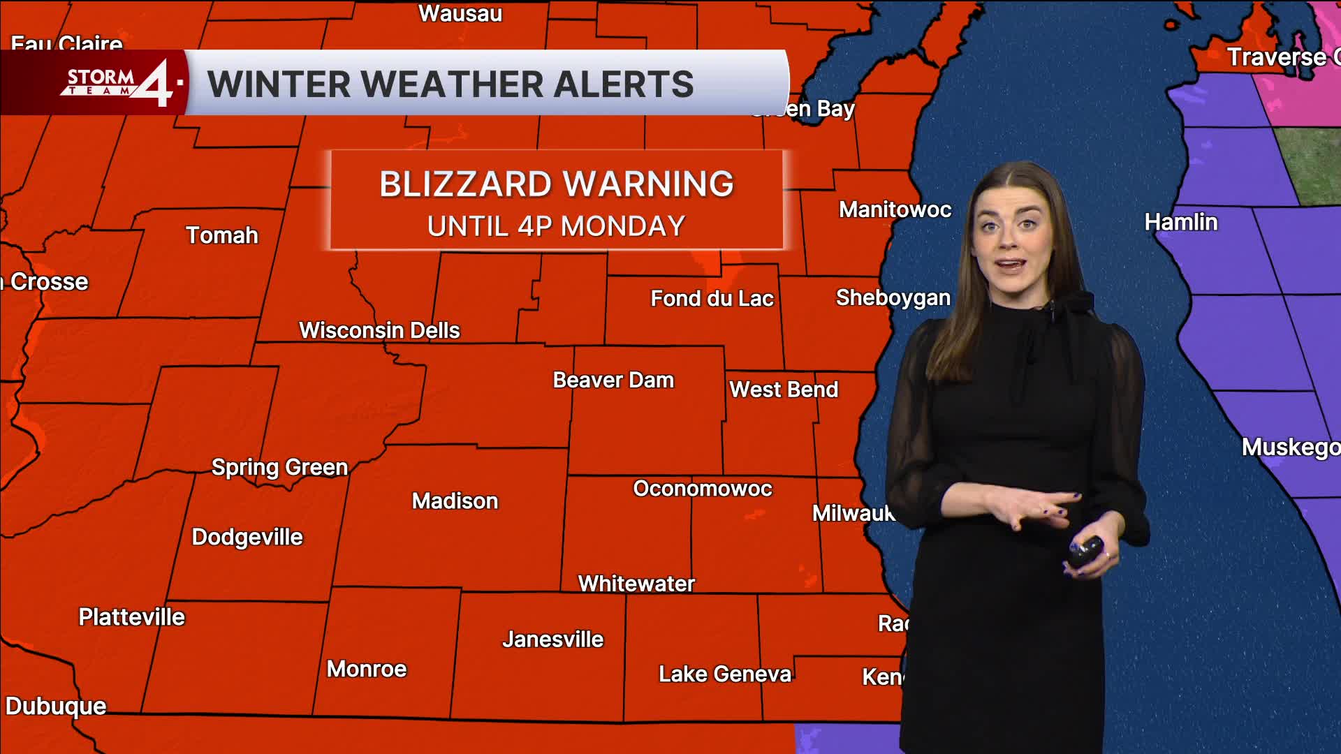


****Blizzard Warning in effect until 4 p.m. Monday for Washington, Ozaukee, Sheboygan, Walworth, Fond du Lac, Dodge, Waukesha, Jefferson, Racine, Kenosha and Milwaukee counties.****
We have seen almost an inch of rain across Southeast Wisconsin on Sunday.
This was the second round of this major winter storm.
The main snow event gets here late Sunday night. This is when we see the rain transition to snow across most of Southeast Wisconsin. I believe this transition will begin around 10 p.m. for SE Wisconsin.
Monday is going to be snowy and very windy with blowing snow as well.
The farther you live to the northwest, the more snow you are going to see.
Areas near Milwaukee and Waukesha will end up between 3-5". Racine and Kenosha, only 2-4". Areas northwest of Milwaukee, 6-12" with those highest totals well to the northwest.
Northeast Wisconsin will be hit the hardest with the potential to see more than 14" of snow!
Northwesterly wind gusts will top out over 50 mph. Expect blowing snow and travel impacts across the area on Monday.
Watch: How much snow will we see on Sunday and Monday?
After the deep low pressure clears, we will see high temperatures in the 20s for Monday and Tuesday.
There is a chance for snow showers on Wednesday morning as our temperatures creep closer to normal.
We end the week mild. Highs climb back into the 50s with partly cloudy skies.
As always, send your weather photos and questions to us here at Storm Team 4! Our email is weatherteam@tmj4.com
SUNDAY NIGHT: Heavy snow, windy
Low: 21
Winds: E 10-20 mph, gusts 45 mph
MONDAY: Snowy and windy. 4-6" total for Milwaukee, 6-12" well to the northwest.
High: 26
Winds: E 10-20 mph, gusts 30 mph
TUESDAY: Partly Cloudy
High: 24
Winds: N 5-15 mph
WEDNESDAY: Rain/Snow/Mix
High: 38
THURSDAY: Partly Cloudy
High: 50
FRIDAY: Partly Cloudy
High: 52
It’s about time to watch on your time. Stream local news and weather 24/7 by searching for “TMJ4” on your device.
Available for download on Roku, Apple TV, Amazon Fire TV, and more.
