

We had severe thunderstorms last night and today, with several reports of hail. Most reports are pea-sized hail, but there was a report of half-dollar-sized hail in Howards Grove in Sheboygan County.
A passing cold front triggered our final line of storms. The threat of severe weather is over. You will probably notice the effects from the cold front this evening.
Temperatures are sitting below average and eventually near freezing into Wednesday morning. (No joke)
WATCH: Southeast Wisconsin weather: Severe threat has ended; more rain later this week
Wednesday is the coldest day this week, with temperatures barely hitting 40. Partly cloudy skies and dry conditions on Wednesday before our next chance for rain in the evening. This will be a cold, steady rain. You will likely see 1/2-3/4 inch in the gauge from this system.
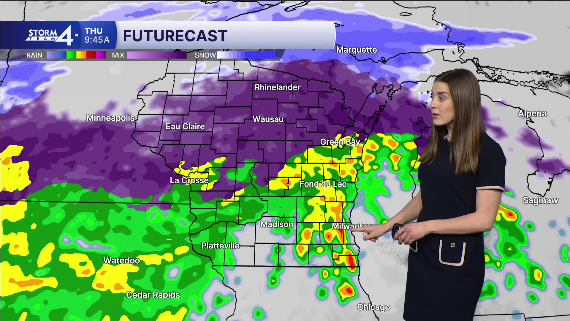
Warmer weather is back on Thursday as our temps hit 60 degrees.
Storm chances continue into the weekend.
Stay tuned to Storm Team 4 on air and online for the latest weather updates.
TONIGHT: Mostly Cloudy
Low: 33
Wind: NE 5-10 mph
WEDNESDAY: Mostly Cloudy & Cool; Chance PM Rain/Snow Mix
High: 40
Wind: NE 10-20 mph
THURSDAY: Rain Likely, 1/2" total; Windy
High: 63
Wind: E 10-20 mph
FRIDAY: Slight Chance Rain; Mostly Cloudy
High: 44
SATURDAY: Rain Showers Likely
High: 54
SUNDAY: Partly Cloudy
High: 50
It’s about time to watch on your time. Stream local news and weather 24/7 by searching for “TMJ4” on your device.
Available for download on Roku, Apple TV, Amazon Fire TV, and more.
