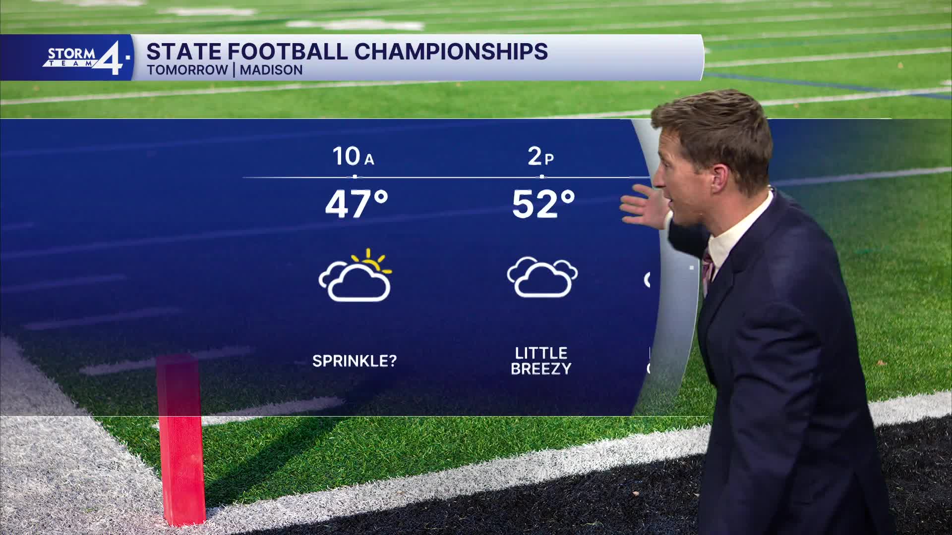


Thankfully, we experienced some breaks in the clouds this afternoon. Clouds fill in again this evening, and there is a small chance for sprinkles late tonight and into tomorrow morning.
Low temperatures will be in the 30s, and we will warm back into the 50s tomorrow.
Watch: When to expect some warmer air:
The forecast looks quiet heading into the opening weekend of the Gun Deer Hunt. In the long term, we're watching the potential return of rain Monday night and into Tuesday next week. Another storm system tracks to our south and heads for the East Coast around Thanksgiving. We may experience a blast of winter air.
TONIGHT: Mostly Cloudy
Low: 38
Wind: Calm
THURSDAY: Mostly Cloudy and Mild. Slight Ch. Sprinkle
High: 54
Wind: SW 5-10 mph
FRIDAY: Mostly Cloudy
High: 50
SATURDAY: Partly Cloudy
High: 48
SUNDAY: Partly Cloudy and Mild
High: 55
It’s about time to watch on your time. Stream local news and weather 24/7 by searching for “TMJ4” on your device.
Available for download on Roku, Apple TV, Amazon Fire TV, and more.
