

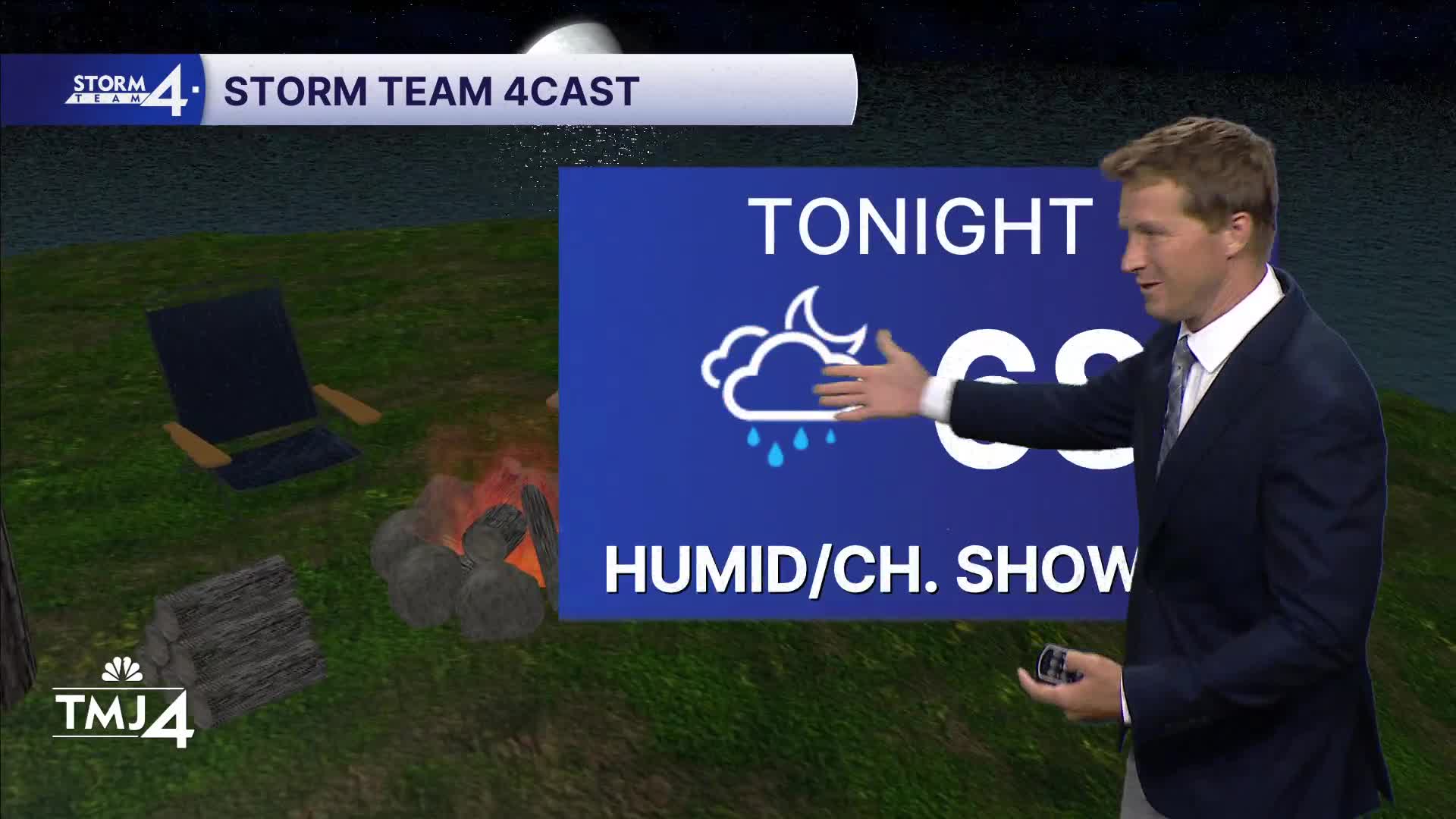


The common themes this week have been high humidity and most rain action staying to our south. That trend will likely continue this weekend. There is a slight chance for a stray light shower this evening.
We're tracking a larger area of rain that likely sets up to our west overnight. Most of this rain probably tracks across northern Illinois Saturday morning, with SE Wisconsin right on the fringe of light rain.
A small wiggle north would mean at least a few hours of steady rain for us. Another chance for showers, and maybe a few thunderstorms, sets up Saturday night and into Sunday morning as a weak cold front approaches from the north.
You can expect high humidity all weekend and high temperatures around 80 Saturday and mid-80s Sunday.
Watch: Southeast Wisconsin weather: Most rain still south
TODAY: Foggy then muggy, and likely dry.
High: 77
Wind: NE 5-10
TONIGHT: Increasing Showers
Low: 70
Wind: E 5-10
SATURDAY: Scattered showers in the morning.
High: 78
Wind: SE 5-10
SUNDAY: Sl Chance
High: 81
Wind: NW 5-10
MONDAY : Less humid and sunny.
High: 77
Wind: NE to S 5-10
TUESDAY: Increasing Clouds. Humid.
High: 82
Wind: SW 5-10
WEDNESDAY: Likely showers
High: 80
It’s about time to watch on your time. Stream local news and weather 24/7 by searching for “TMJ4” on your device.
Available for download on Roku, Apple TV, Amazon Fire TV, and more.
