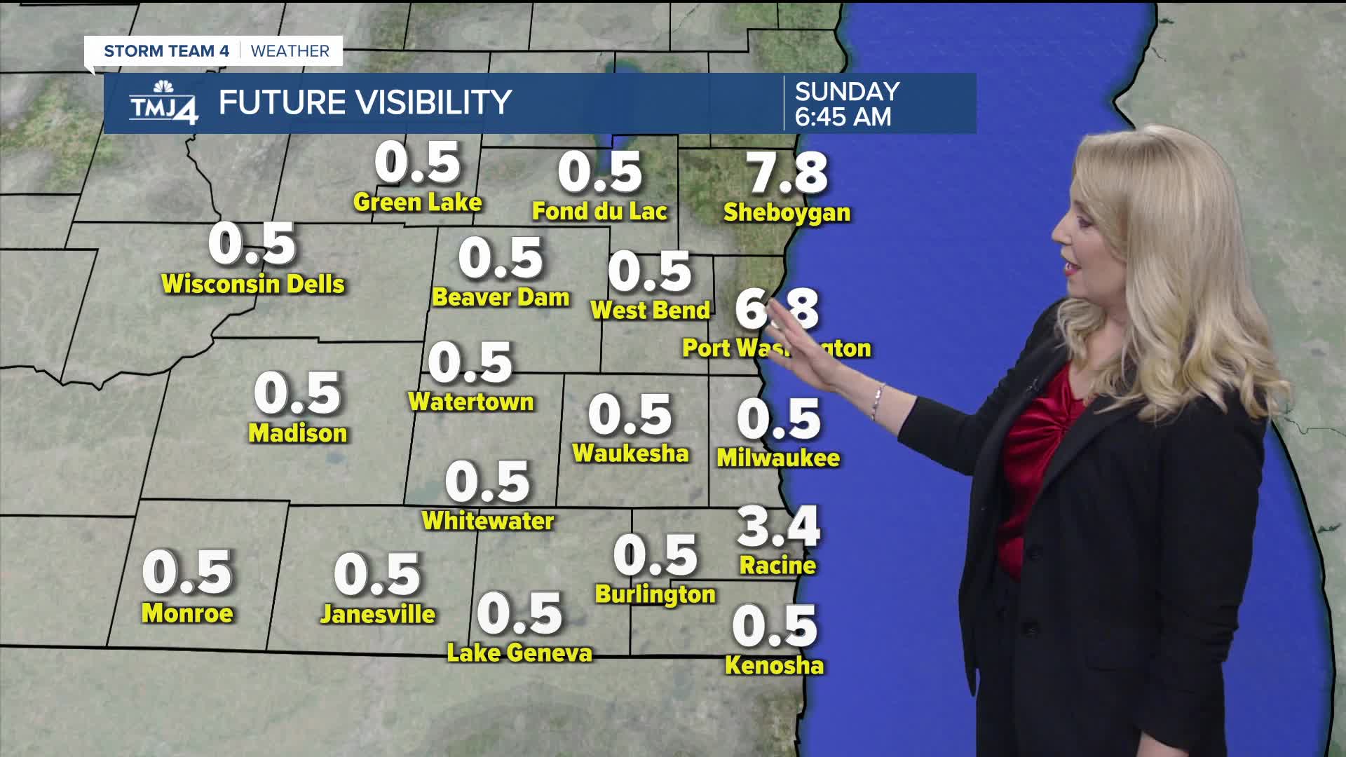


An isolated shower remains possible Saturday evening, but any rain will end after sunset. Skies will gradually clear tonight. It'll be warm and muggy with lows around 70 degrees. With plenty of moisture and light winds, areas of fog are expected to develop. Some fog may linger into early Sunday morning.
Sunday afternoon will be very warm with highs in the upper 80s near the lake and low 90s inland. Humidity remains high with dew points around 70 degrees. This will push heat indices into the mid and upper 90s. The UV index will be very high (9), be sure to use sun protection if making outdoor plans. Regarding air quality, moderate air quality is anticipated, although the lakeshore could drop into the Unhealthy for Sensitive Groups category in the afternoon.
A round of storms looks likely Monday morning, with a hot and humid afternoon; temperatures will top out in the 90s area-wide. If storms/clouds clear out fast enough, heat index values could jump to around 100°.
We bring more chances of showers or storms on Tuesday and Wednesday. A cold front that moves through late Tuesday will bring some relief from the heat and humidity starting Wednesday.
Thursday and Friday look pleasant with lower humidity and highs in the 70s.
WATCH: Southeast Wisconsin weather: Patchy fog overnight, hot & humid Sunday
TONIGHT: Clearing skies, warm & humid, areas of fog
Low: 71
Wind: SW 5 mph
SUNDAY: AM Fog, then mostly sunny, hot & humid
High: 87 lake, 92 inland
Wind: Var 5-10 mph
MONDAY: Morning rain/storms, then partly cloudy, hot & humid
High: 92
TUESDAY: Partly cloudy with a chance of a shower or t'storm
High: 86
WEDNESDAY: Mostly cloudy, best ch. rain/storm early, cooler
High: 77
THURSDAY: Mostly sunny to partly cloudy
High: 75
It’s about time to watch on your time. Stream local news and weather 24/7 by searching for “TMJ4” on your device.
Available for download on Roku, Apple TV, Amazon Fire TV, and more.
