

WINTER WEATHER ADVISORY: Winter Weather Advisory from 11/26/2025 6:00 AM to 6:00 PM CST for Washington County, WI, Ozaukee County, WI, Sheboygan County, WI, Fond du Lac County, WI, Dodge County, WI.
We'll it's been fun while it lasted, as winter is set to arrive tomorrow! A final round of scattered rain showers moves in this evening. A strong area of low pressure approaches tonight and tracks just to our north tomorrow.
As the center of low pressure strengthens and moves to our east, temperatures will drop here in southeast Wisconsin, and the wind will ramp up. Any precipitation should transition to snow by sunrise tomorrow morning.
Watch: When another round of snow could impact travel
Along with strong winds, snow showers should persist through tomorrow afternoon. Up to 1" of snow is likely for Milwaukee, with 1-3" possible north. Roads may become slippery, and travel may be tricky with winds gusting over 40 mph! Cold winter air settles in for Thanksgiving and the foreseeable future.
TONIGHT: Evening Showers Then Mix Late and getting breezy
Low: 34
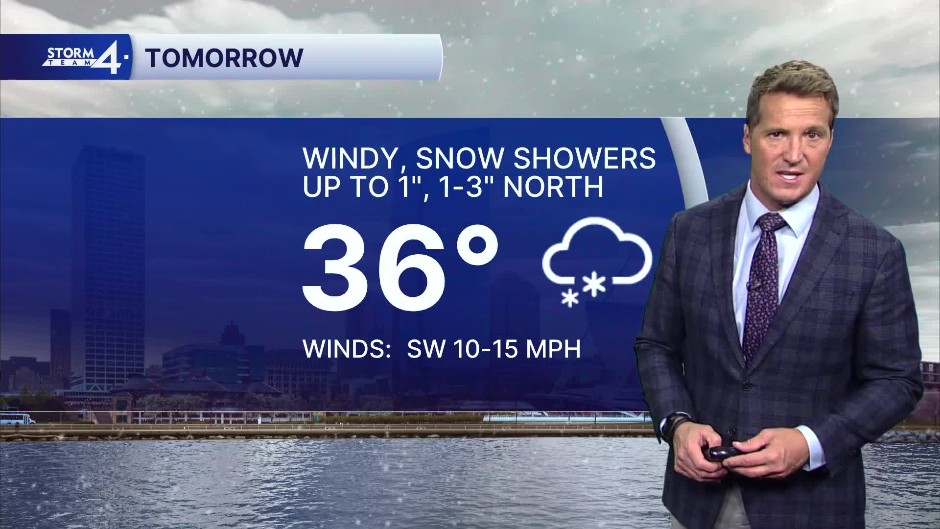
Wind: SW 10-15 mph
WEDNESDAY: Windy with Snow Showers. Up to 1" MKE, 1-3" North
High: 36
Wind: NW 20-30 mph G 45 mph
THURSDAY: Mostly Cloudy, Breezy, and Chilly
High: 32
FRIDAY: Mostly Cloudy and Cold
High: 30
SATURDAY: Cloudy with Snow Possible Late
High: 33
It’s about time to watch on your time. Stream local news and weather 24/7 by searching for “TMJ4” on your device.
Available for download on Roku, Apple TV, Amazon Fire TV, and more.
