
An area of low-pressure passes to the South today. Most of the rainfall will stay south of the State Line, but cloud cover will be around throughout the day. Highs climb into the upper 60s - lower 70s. Sunshine returns for Saturday as highs jump into the lower 70s area-wide. Warmer air surges in late Saturday night through Sunday. A few showers are possible during this time frame. Highs jump to the upper 70s and lower 80s on Sunday.
A ridge of high-pressure will lock in across the eastern United States throughout next week. Dangerous heat and humidity will persist for several days. Highs will consistently remain in the lower - mid 90s with dew points near & above 70°. Heat Index values may reach or exceed 100°F. Each day will feature a small chance for pop-up showers/storms. Any rain would offer some welcome relief from the heat.
FRIDAY: Becoming Mostly Cloudy; Showers Stay South
High: 67
Wind: NE 5-10 mph
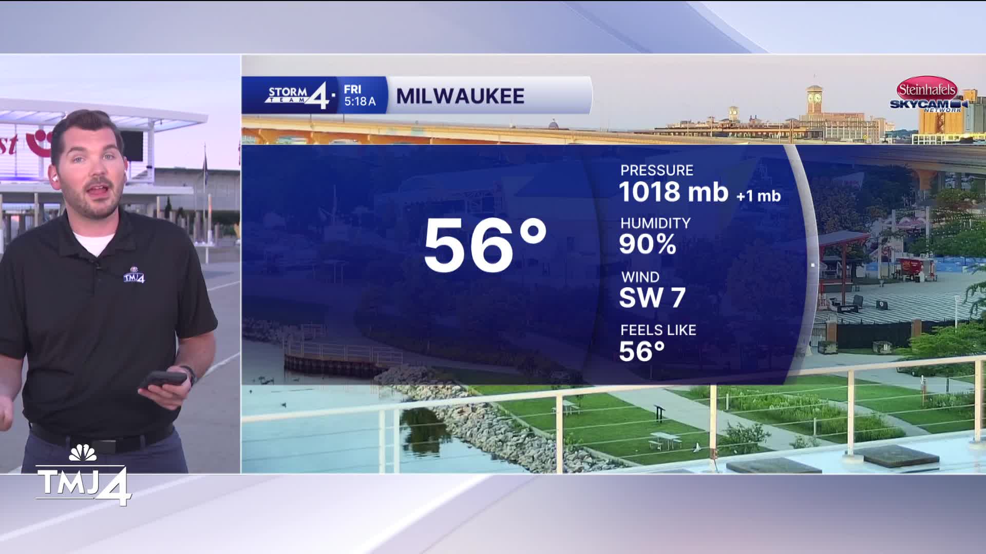
TONIGHT: Partly Cloudy
Low: 56
Wind: N 5 mph
SATURDAY: Sunny & Comfy
High: 73
Wind: NE 5-10 mph
SUNDAY: Slight Ch. AM Shower; Partly Cloudy; Warmer & More Humid
High: 78
MONDAY: Sunny, Hot & Humid
High: 93
TUESDAY: Sunny, Hot & Humid
High: 94
It’s about time to watch on your time. Stream local news and weather 24/7 by searching for “TMJ4” on your device.
Available for download on Roku, Apple TV, Amazon Fire TV, and more.
