

A few locations picked up some light rain this morning, but it didn't add up to much. Near-drought conditions continue to worsen across southeast Wisconsin.
Skies will be mainly clear tonight with lows around 50 degrees. Tomorrow and Wednesday are shaping up to be absolutely beautiful.
Watch the full 7-Day forecast here:
Our weather pattern gets warmer and more active towards the end of the week.
Much-needed rain is likely on Friday along with some thunderstorms. A few showers and storms are also possible on Saturday.
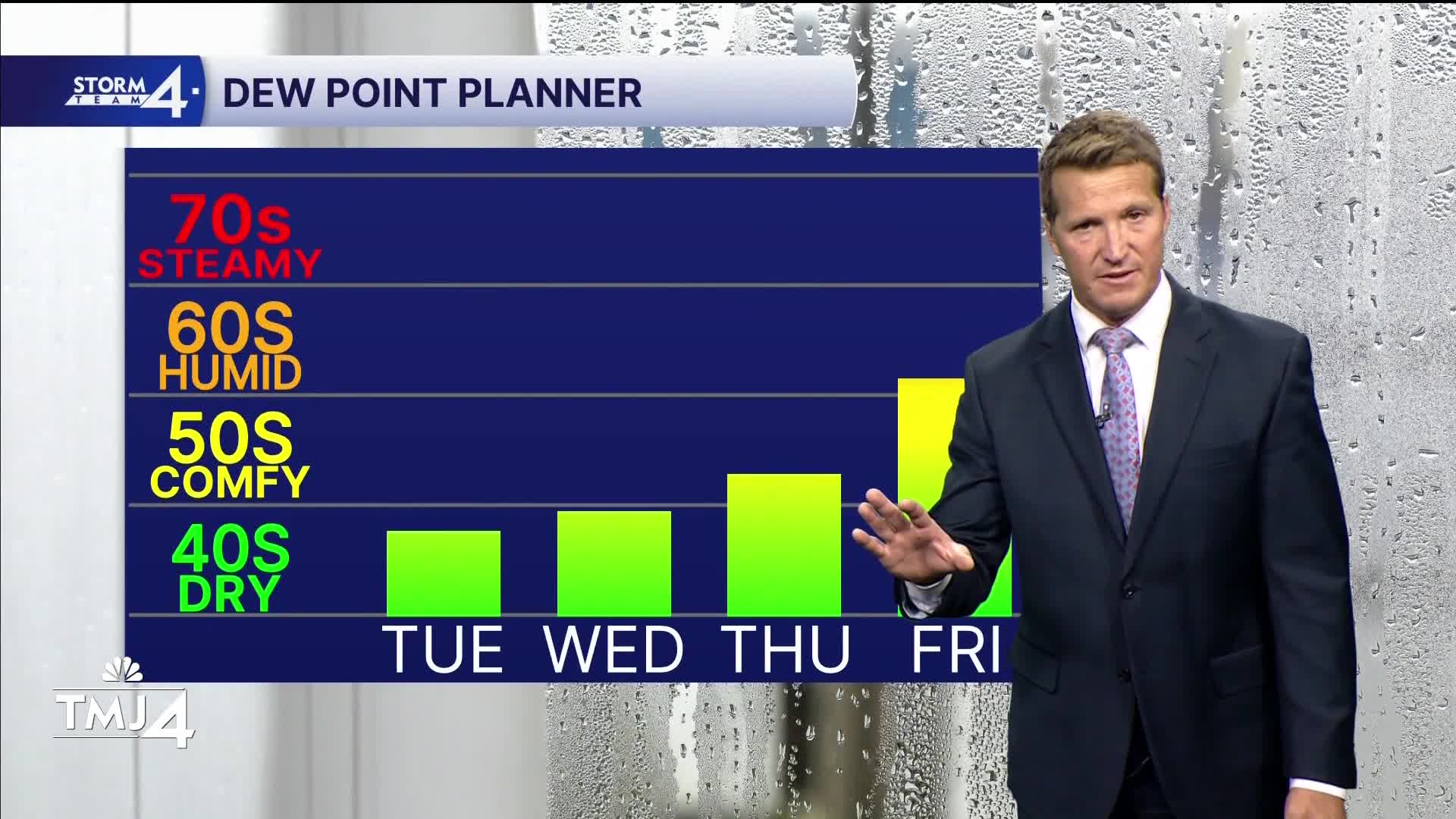
Along with warmer temperatures, humidity will also be much higher.
TONIGHT: Mainly Clear
Low: 50
Wind: NE 5-10 mph
TUESDAY: Sunny and Beautiful
High: 70 Lake 76 Inland
Wind: NE 5-10 mph
WEDNESDAY: Sunny and Mild
High: 76
THURSDAY: Partly Cloudy and Warm
High: 85
FRIDAY: Mostly Cloudy, Warm, and Humid. Showers/Storms Likely
High: 81
It’s about time to watch on your time. Stream local news and weather 24/7 by searching for “TMJ4” on your device.
Available for download on Roku, Apple TV, Amazon Fire TV, and more.
