

A narrow band of light snow flurries moved through southern Wisconsin early this morning. Many of us saw no impacts from the snow. Breezy winds and clouds have kept our temperatures near 40 degrees today.
Watch: When we'll see a big warm-up:
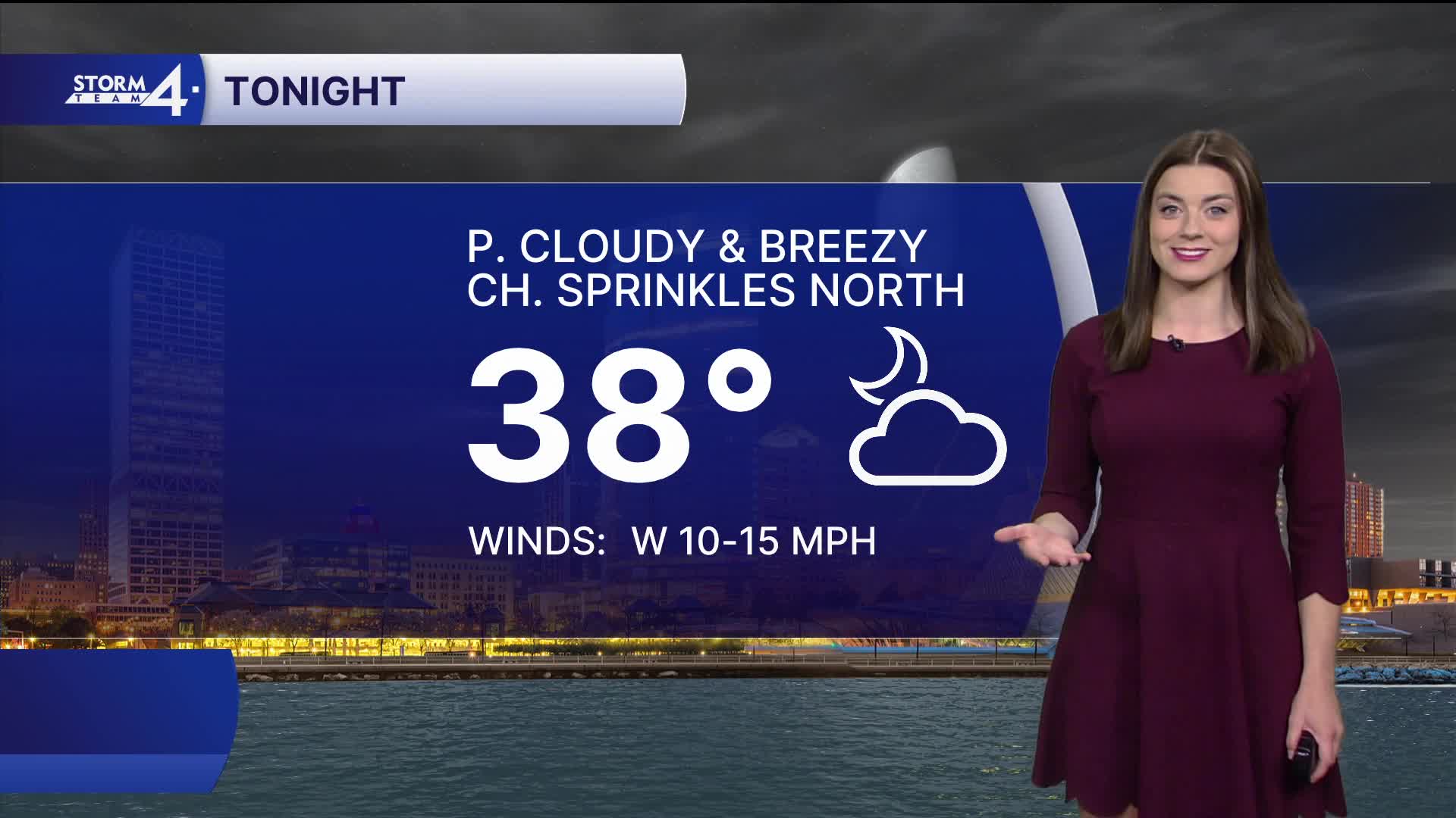
We can expect a chilly night with lows in the mid 30s and partly cloudy skies.
Seasonable weather returns during the mid-week with highs in the 50s. We'll look for a mostly sunny sky as high-pressure settles in the central Plains. A warm front lifts northward on Saturday — ushering in warmer air. Highs climb into the upper 50s - near 60. A few showers are possible as a series of cold fronts swing by late Saturday into Sunday.
TONIGHT: Partly Cloudy
Low: 26
Wind: W 10-15 mph
WEDNESDAY: Mostly Sunny, Windy, and Mild
High: 50
Wind: W 15-25 mph
THURSDAY: Mostly Sunny and Mild
High: 52
FRIDAY: Mostly Sunny
High: 53
SATURDAY: Slight Chance Showers; Cloudy & Mild
High: 61
SUNDAY: Mostly Cloudy
High: 57
It’s about time to watch on your time. Stream local news and weather 24/7 by searching for “TMJ4” on your device.
Available for download on Roku, Apple TV, Amazon Fire TV, and more.
