

After a frosty start, it ended up being a beautiful fall day with sunshine and temperatures topping out in the 60s.
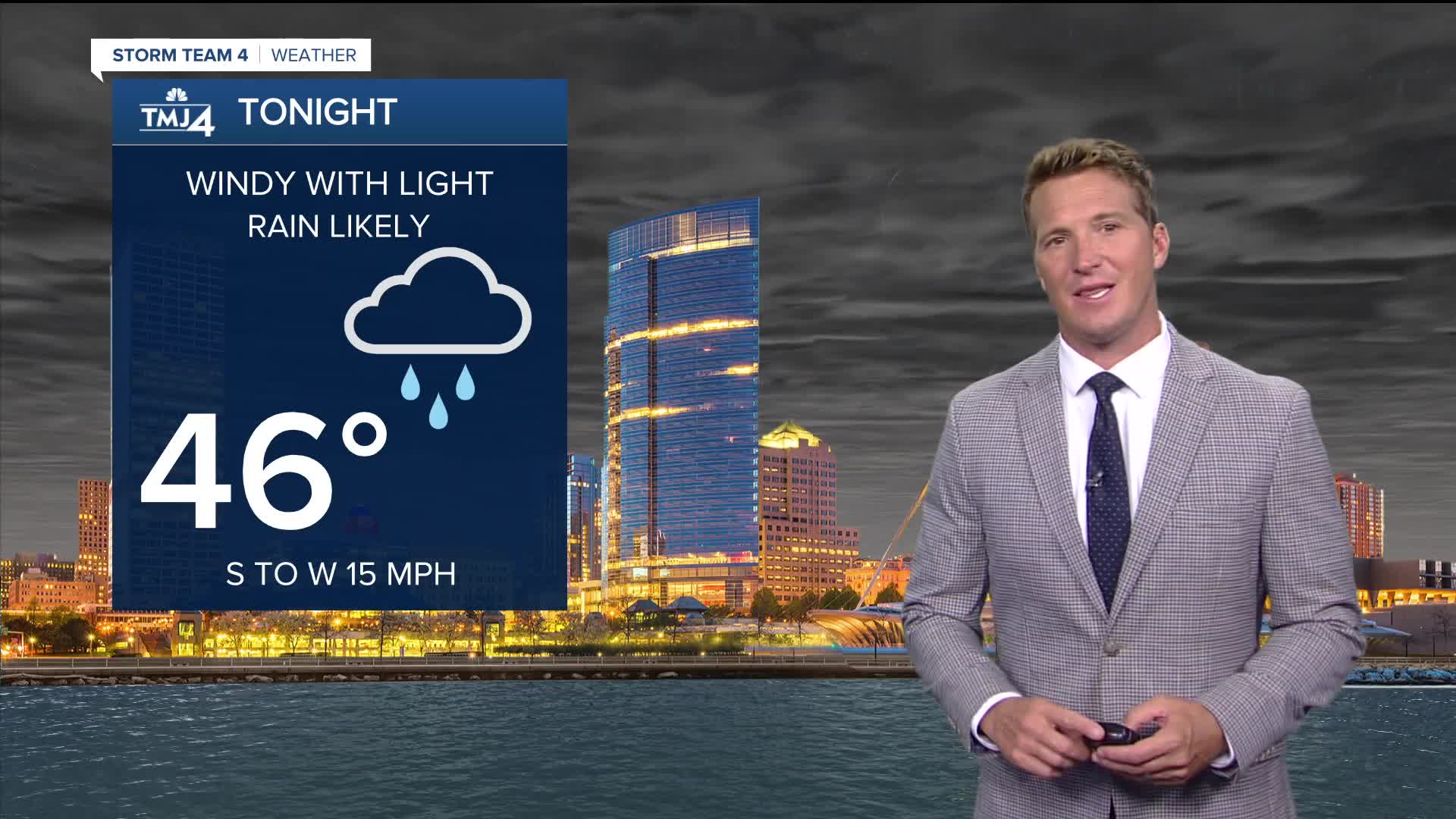
It won't get as chilly tonight with, eventually, more clouds in the sky. Light rain will also spread across southeast Wisconsin after 9 p.m. this evening. Only up to 0.10" of rain is expected overnight.
An area of low pressure will spin to our north tomorrow. A tight pressure gradient will develop, resulting in gusty west winds over 30 mph.
Watch: When sunshine fades to wind & rain
A few showers may also wrap around this area of low pressure tomorrow and into Wednesday. Any additional rain will be very light and scattered.
Dress for below-average temperatures with highs only around 50 degrees the next few days.
TONIGHT: Mostly cloudy and Windy. Light Rain Likely
Low: 46
Wind: S to W 15 mph
TUESDAY: Mostly Cloudy and windy. Slight Ch. Showers
High: 53
Wind: W 15-25 mph
WEDNESDAY: Mostly Cloudy and Windy. Slight Ch. Showers
High: 50
THURSDAY: Partly Cloudy
High: 51
FRIDAY: Partly Cloudy
High: 55
It’s about time to watch on your time. Stream local news and weather 24/7 by searching for “TMJ4” on your device.
Available for download on Roku, Apple TV, Amazon Fire TV, and more.
