
A compact but strong storm system sweeps across the state tonight and into tomorrow.
This will be a mainly rainy event for us here in SE Wisconsin, with a changeover to snow at some point tomorrow. A widespread half inch of rain is likely across the area with locally higher amounts possible.
Watch: Could some more snow showers be on the way?
The changeover to snow happens early in the morning for our western counties, but probably holds off until after 8 a.m. in Milwaukee. Snow amounts will range from very little lakeside to as much as 3" in the far northwest. Light snow may linger through midday along with strong winds. Seasonal weather returns this weekend.
TONIGHT: Rain Likely. Around 0.50"
Lows: 34
Wind: NW to SW 10 mph
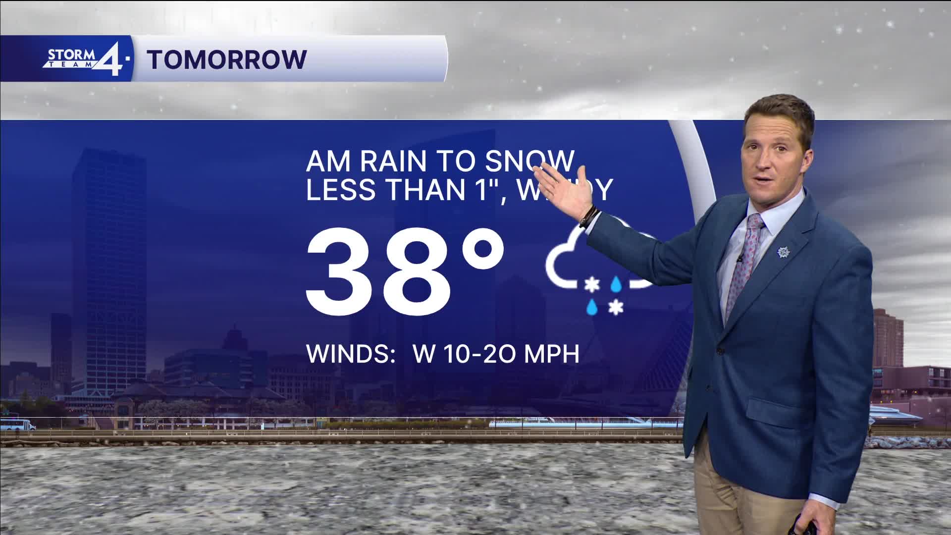
FRIDAY: AM Rain to Snow and Windy. Less Than 1" MKE, 1-3" NW
High: 48
Wind: W 15-25 mph
SATURDAY: Mostly Cloudy with Flurries Possible
High: 35
SUNDAY: Ch. Light Snow
High: 30
MONDAY: Partly Cloudy
High: 30
It’s about time to watch on your time. Stream local news and weather 24/7 by searching for “TMJ4” on your device.
Available for download on Roku, Apple TV, Amazon Fire TV, and more.
