

Today was the first day since Thanksgiving that our temperatures were actually above normal. Most locations climbed well into the 30s, but some areas reached 40 degrees.
More clouds fill in this evening, and there may even be a passing sprinkle or flurry. We expect mild conditions tonight, with lows around 30 degrees. You can expect another nice day tomorrow.
Watch: How long the warm-up lasts
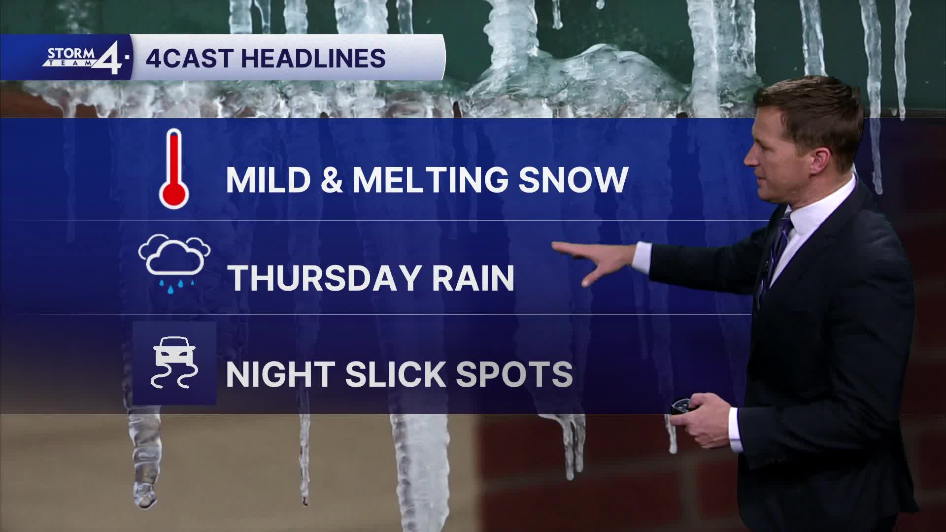
Our next storm system moves in on Thursday, but it will bring mostly rain to southeast Wisconsin. Up to 0.25" of rain is possible.
There is a chance we see snow showers Thursday evening.
TONIGHT: Evening Sprinkle/Flurry Possible. Mostly Cloudy, Breezy, and Mild
Low: 30
Wind: SW 10-20 mph
WEDNESDAY: Mostly to Partly Sunny
High: 37
Wind: W to S 10 mph
THURSDAY: Mild with Rain Likely with Mix Possible Late
High: 44
FRIDAY: Partly Cloudy
High: 27
SATURDAY: Mostly Cloudy. Slight Ch. Rain/Snow Showers
High: 36
It’s about time to watch on your time. Stream local news and weather 24/7 by searching for “TMJ4” on your device.
Available for download on Roku, Apple TV, Amazon Fire TV, and more.
