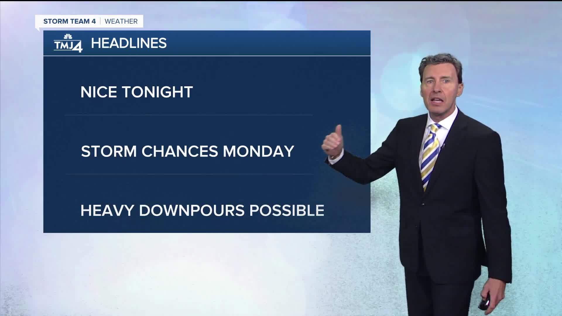

After a one-day reprieve from this active pattern, we're going to go back to the unsettled weather as Monday wears on, with the potential of some heavy downpours Monday night.
Let's enjoy tonight, though with comfortable temperatures and humidity, with lows in the mid-60s. There's a very small chance a shower might sneak in from the west overnight, but most of us should stay dry.
Monday will be warmer and more humid again. As the day wears on, we're going to start to increase the chances of scattered showers and t'storms, mainly in the afternoon. Highs will be in the low 80s.
Monday night looks to be the best shot at showers and storms. Once again, with all the humidity, we could see some locally heavy downpours. Lows will be around 70.
Finally, we are going to start to turn the page to a nicer weather pattern with mostly dry conditions and comfortable temperatures, mostly in the 70s, going into next weekend.
TONIGHT: Becoming mostly cloudy.
Low: 66.
Wind: Bec. SE 5-10 MPH.
MONDAY: More humid again with a chance of
a shower or storm, mainly in the afternoon.
High: 82 though a bit cooler lakeside.
Wind: SSE 6-12 MPH.
MON NIGHT: Occasional showers and storms with locally
Heavy downpours possible.
Low: 70.
Wind: SSW 5-10 MPH.
TUES: A slight chance of a morning shower or t'storm,
then becoming warm and humid.
High: 85.
WEDS: Partly cloudy and more comfortable.
High: 76.
THURS: Mostly sunny.
High: 78.
It’s about time to watch on your time. Stream local news and weather 24/7 by searching for “TMJ4” on your device.
Available for download on Roku, Apple TV, Amazon Fire TV, and more.
