
After a muggy day with hit and miss showers, more storms are lifting into southern Wisconsin from the south. The severe threat is very low tonight, but some heavy downpours are possible.
There is a slight chance for showers and storms tomorrow, with better chances arriving Wednesday and Thursday, along with severe weather.
When we could see temperatures in the 90s:
The other big weather story is the building heat. We may hit 90 by Wednesday, and the heat index may climb as high as 100 degrees. High heat continues Thursday, then we cool down again on Friday.
TONIGHT: Rain/Storms Likely
Low: 64
Wind: SE 10 mph
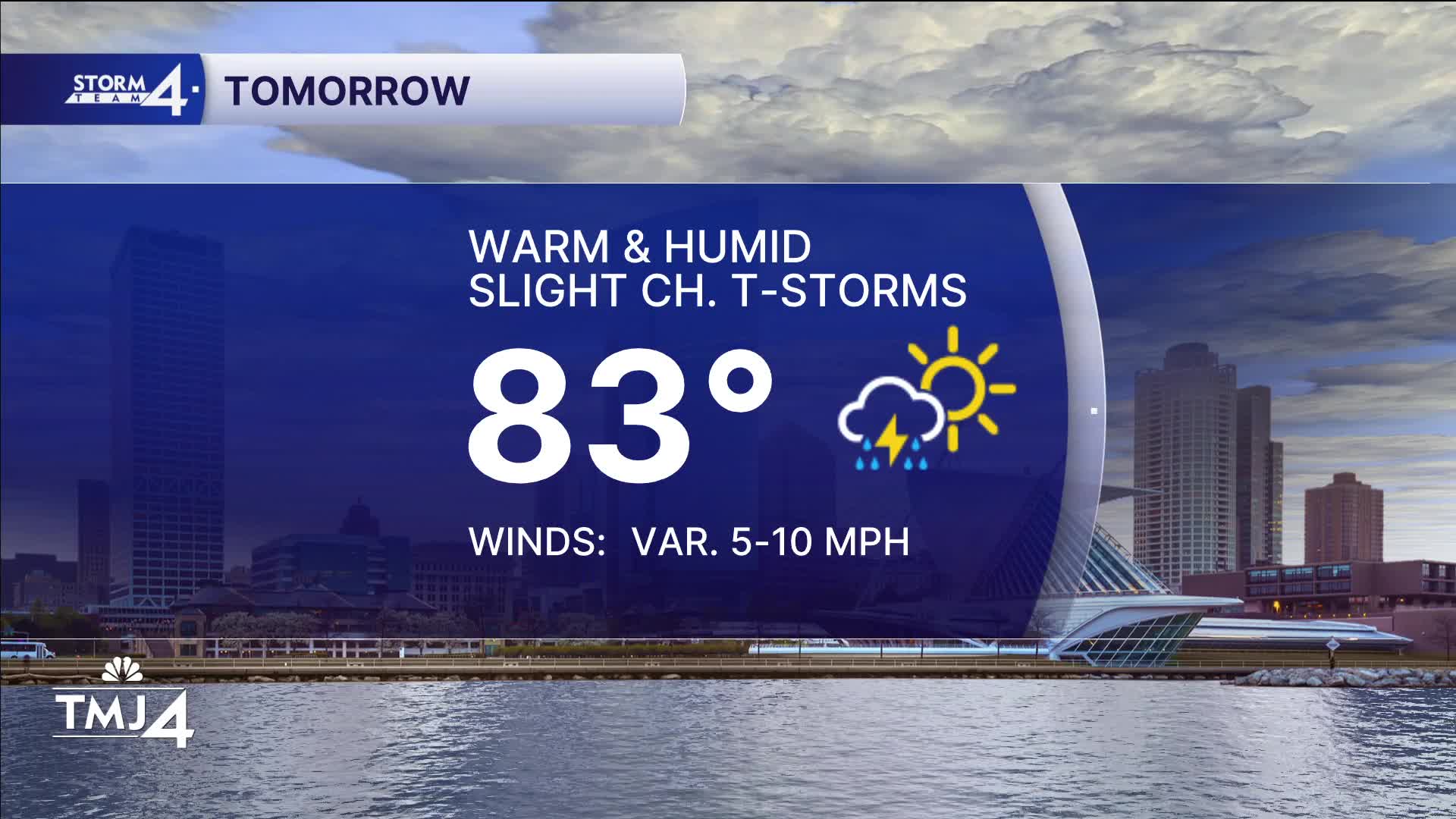
TUESDAY: Partly Cloudy. Slight Ch. Showers
High: 83
Wind: Calm
WEDNESDAY: Partly Cloudy, Hot, and Humid. Ch. T-Storms
High: 92
THURSDAY: Partly Cloudy, Hot, Humid. PM T-Storms Likely Some Severe.
High: 90
FRIDAY: Partly Cloudy and Breezy
High: 78
It’s about time to watch on your time. Stream local news and weather 24/7 by searching for “TMJ4” on your device.
Available for download on Roku, Apple TV, Amazon Fire TV, and more.
