



Air quality alert in effect for SE WI until 6 p.m. The smoke is expected to follow a warm front and push out of here with SW winds. The warm front has been triggering pop-up storms. These are below severe limits and will just pulse up, downpour, and move on.
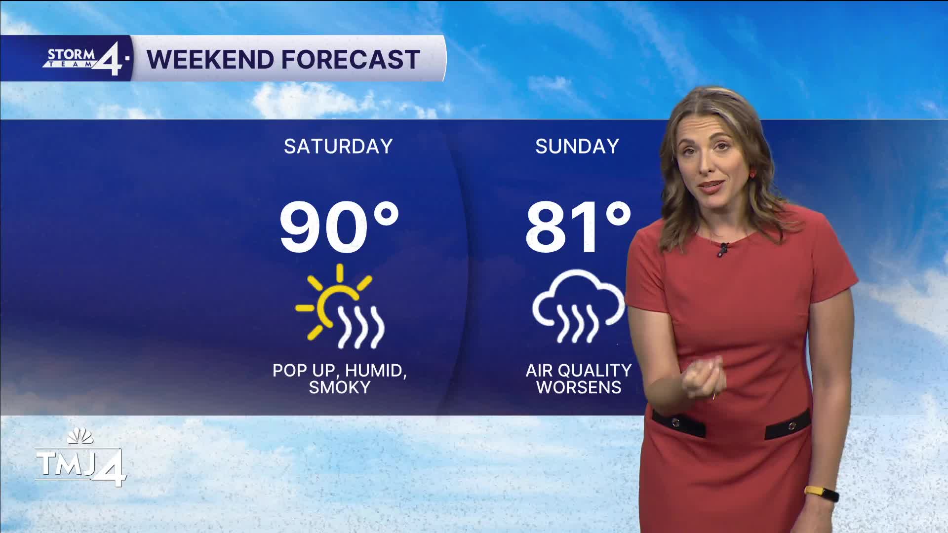
The weekend features a cold front Saturday that will trigger a few more pop-ups mid-morning. Sadly, this also brings the return of wildfire smoke to SE WI. The conditions will continue to worsen overnight, with air quality taking a dive.
WATCH: When smoke moves out
Sunday looks to be potentially worse than Thursday in terms of air quality as a large plume of the smoke settles in over the state. Stay tuned for updates on how this progresses over the weekend.
Next week starts with 90s and storms on Monday, then gradually cools to 80s and 70s the rest of the week — ditching humidity.
Smoke potential is still there and will need to be monitored.
TONIGHT: Smoke moves north and dissipates. Any pop-ups we got from the afternoon will also fade.
Low: 77
Wind: SW 5-10
SATURDAY: A few pop-ups in the mid-morning as a cold front pushes south. This sadly brings the return of wildfire smoke, again.
High: 89
Wind: NW-NE 10-15
SUNDAY: The wildfire smoke really amps up Sunday with potentially worse conditions than Thursday.
High: 81
Wind: E/SE 5-10
MONDAY: Smoke is still a key player in the forecast. Will need to be monitored. Hot and humid with afternoon storms. Some could be strong with the right conditions.
High: 91
Wind: SW 10-20
TUESDAY: Mostly sunny and breezy NW winds.
High: 83
Wind: NW 15-25
WEDNESDAY: Mostly sunny.
High: 78
THURSDAY: Sl. Chance.
High: 81
It’s about time to watch on your time. Stream local news and weather 24/7 by searching for “TMJ4” on your device.
Available for download on Roku, Apple TV, Amazon Fire TV, and more.
