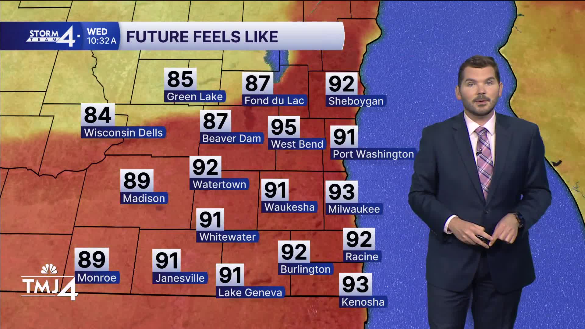


Extremely hot and humid conditions continue today, with highs jumping into the mid-90s. Heat index values will once again top out in the lower 100s.
WATCH: When we could see some relief from the heat
An Extreme Heat Warning continues until 7 p.m. across all of southeast Wisconsin.
As the ridge of high pressure begins to break down, a corridor of more active weather (showers and storms) will settle southward into Wisconsin. Shower and storm chances will increase in the days ahead. Unfortunately, there is a great deal of uncertainty regarding the intensity and location of these showers and storms. That will be dependent on any preceding rounds of rain.
A few scattered showers and storms have been riding the upper-level ridge across central and northeastern Wisconsin. There is a chance that scattered showers and storms form just north of the TMJ4 viewing area this morning. A few showers and storms may clip northern Fond du Lac and Sheboygan counties. Gusty winds and downpours are the biggest concerns.
After another day of heat, showers and storms are expected to develop in a similar location this evening. Storms may drift southward into areas north of Interstate 94 tonight. A few stronger storms are possible. More hot and humid weather is expected tomorrow, but temperatures may fall back a touch given the extra cloud cover and rain.
A remnant boundary from morning storms may trigger another round of storms over southeast Wisconsin late in the evening hours.
More rounds of showers and storms are expected into the holiday weekend. Those with outdoor plans are encouraged to follow the 4Cast. The chances of rain and extra cloud cover will allow for a modest break in the heat, with highs in the 80s. However, the high dew points will remain.
WEDNESDAY: Partly Cloudy, Hot, and Humid; Slight Ch. T-Storms esp. North
High: 94, Heat Index: 102
Wind: SW 10-15 mph
TONIGHT: Warm, Breezy, Very Muggy; Slight Chance Storms esp. North
Low: 76
Wind: SW 10-15 mph
THURSDAY: Partly Cloudy, Hot, and Humid; Ch. T-Storms
High: 93, Heat Index 100
FRIDAY: Partly Cloudy, Hot, and Humid. Ch. T-Storms
High: 91
SATURDAY: Partly Cloudy; Chance Showers/Storms
High: 81 Lake 85 Inland
SUNDAY: Partly Cloudy; Chance Showers/Storms
High: 80 Lake 85 Inland
It’s about time to watch on your time. Stream local news and weather 24/7 by searching for “TMJ4” on your device.
Available for download on Roku, Apple TV, Amazon Fire TV, and more.
