
WeatherForecastToday's Forecast

Actions

Southeast Wisconsin weather: Hot and humid

Southeast Wisconsin weather: Hot and humid
and last updated

Meteorologist Brendan Johnson is in the community at Mimosa Breakfast & Brunch in Brookfield! It's a must-stop for brunch and a perfect spot to get some heat relief with the A/C & some iced coffee.

Another dome of hot air is settling in across the Midwest. High temperatures will soar back into the 90s today, sending southeast Wisconsin heat index values awfully close to 100 degrees.

WATCH: Find out when the worst heat arrives

Southeast Wisconsin weather: Hot and humid

With the top of the upper-level ridge just to our north, highs will be a touch cooler today, but still uncomfortably hot. Dew points will rise into the mid-60s.

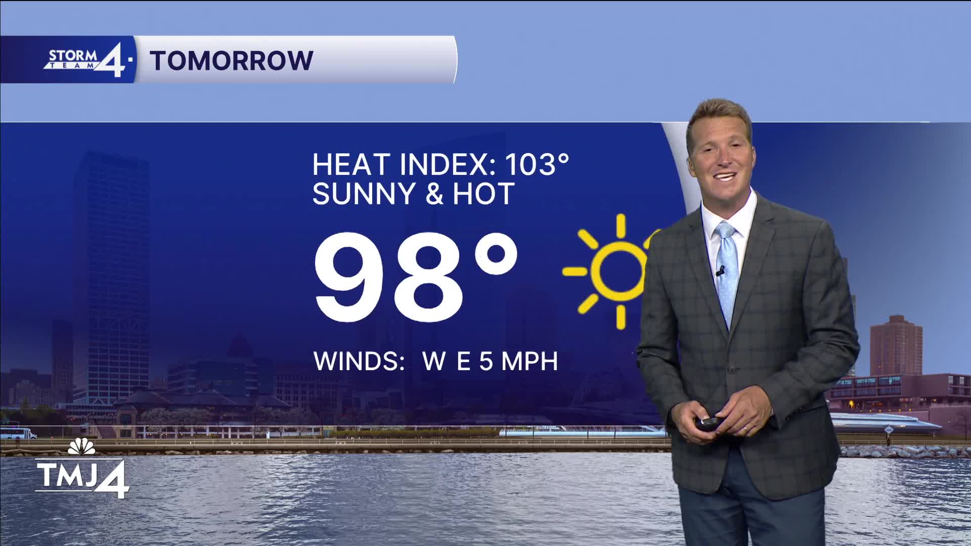
As the ridge moves southward tomorrow, highs will range from the mid-90s to near 100 degrees. That’s just the air temperature. Heat index values will be monitored closely, but those could rise to as high as 105 degrees. The National Weather Service is considering a Heat Advisory for Tuesday.

The hot and humid weather will continue through at least Thursday before the ridge shows signs of breaking. This will also be when our next chance of rain arrives. Long-range guidance has backed off Thursday rain chances, but showers and storms could roll through Wisconsin Thursday night into Friday. There are more consistent signals for rainfall over the weekend. At that point, highs will range from the mid- to upper 80s.

MONDAY: Sunny and Hot
High: 94; Heat Index: 98
Wind: W 5 MPH

TONIGHT: Clear, Warm & Humid
Low: 74
Wind: W 5 mph

TUESDAY: Mostly Sunny and Very Hot
High: 98; Heat Index 101

WEDNESDAY: Mostly Sunny and Hot
High: 96; Heat index 98

THURSDAY: Mostly Sunny, Hot & Humid
High: 92; Heat Index 95

FRIDAY: Mostly Sunny; Hot & Humid; Slight Chance PM Rain
High: 90


It’s about time to watch on your time. Stream local news and weather 24/7 by searching for “TMJ4” on your device.

Available for download on Roku, Apple TV, Amazon Fire TV, and more.