



Gorgeous weather today with highs in the low 80s, with humidity still in check.
Now we direct our attention to Wed-Thu storm potential.
Wednesday will also be the hottest day of the week with highs near 90. Much of the day Wednesday is dry, and likely MKE and around South of 94 stay dry.
Areas north of 94 have a 2/5 risk for strong and severe storms. While timing is tough to pinpoint, with what I'm seeing right now, it looks like a 6 pm to 9 pm window for winds and hail.
WATCH: Southeast Wisconsin weather: Heating up again
Overnight, the boundary sags south, so then we all get clusters of showers and storms (sub-severe by this point). This will likely linger into early Thursday. I'm concerned about localized flooding with some of these slow-moving storms at times.
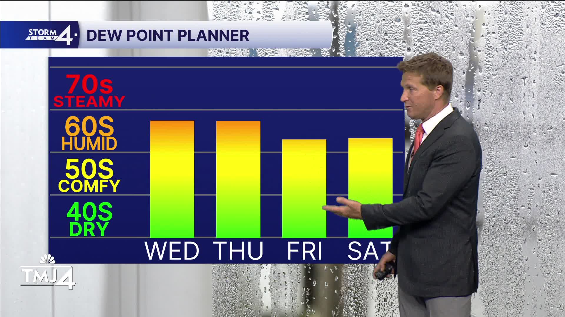
Then we cool back down to 85 Thursday and 78 Friday. The weekend is in the low to mid 80s and dry as high pressure returns.
I'm eyeing a stretch of 90s back in the forecast early next week with higher humidity.
TODAY: Sunny and nice.
High: 82
Wind: SE 5-10
TONIGHT: Clear skies.
Low: 68
Wind: S 5-10
WEDNESDAY: Dry during the day with storms likely north of 94 after 6pm. Some could be strong. They work their way south in the overnight hours and drop severity. Watch for hail and winds in the afternoon, and flooding overnight.
High: 90
Wind: SW 5-10
THURSDAY: Lingering scattered showers and storms. Ending midday. Muggy.
High: 85
Wind: SW/NE 5-10
FRIDAY: Partly cloudy with a sl. Chance of a thundershower. Cooler.
High: 78
SATURDAY: Mostly sunny and slightly sticky.
High: 81
SUNDAY: More humid and hot.
High: 85
It’s about time to watch on your time. Stream local news and weather 24/7 by searching for “TMJ4” on your device.
Available for download on Roku, Apple TV, Amazon Fire TV, and more.
