

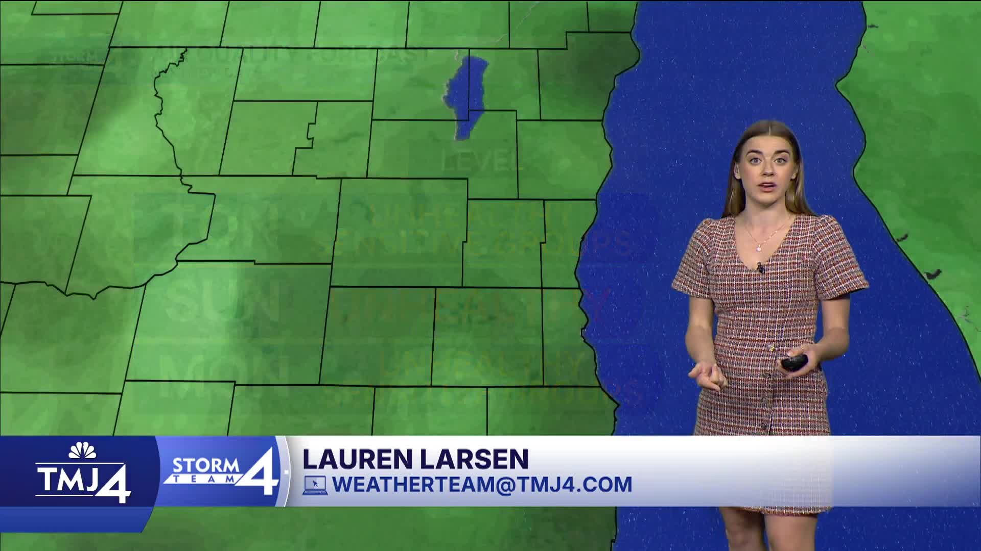


Our big story is still wildfire smoke and air quality. Thankfully, we spent most of the day in the yellow (moderate) air quality. The smoke is back tonight. The DNR has issued an Air Quality Alert for the whole state until noon on Monday. AQI is expected to reach the Very Unhealthy (Purple) to Unhealthy (Red) level.
This wave is likely to last through Monday. Thankfully, Sunday's air quality forecasts are looking better than they were yesterday.
The thick smoke will help block some of the sunshine for Sunday, keeping our temperatures a bit lower. Expect highs in the low 80s.
Monday is hot and humid as the smoke starts to clear out. We see a return of rain and storms with severe weather in the afternoon and evening.
Later this week our highs back down to the low 80s and even the upper 70s. Sounds nice!
WATCH: Will we be seeing more smoke this weekend?
HERE'S YOUR LATEST STORM TEAM WEATHER FORECAST FOR MILWAUKEE
AND SOUTHEASTERN WISCONSIN BY METEOROLOGIST LAUREN LARSEN
TONIGHT: Smoke Returns
Low: 65
Wind: NE 5-10 MPH
SUNDAY: Partly Cloudy, Smoky Skies
High: 80
Wind: E 5-10 MPH
MONDAY : Smoke Starts to Dissipate, PM Showers/Storms
High: 90
Wind: SW 5-15 MPH
TUESDAY: Mostly Sunny
High: 83
Wind: NW 10-15 MPH
WEDNESDAY: Mostly Sunny and Cooler
High: 75
THURSDAY: Mostly Sunny
High: 81
It’s about time to watch on your time. Stream local news and weather 24/7 by searching for “TMJ4” on your device.
Available for download on Roku, Apple TV, Amazon Fire TV, and more.
