

A HEAT ADVISORY WILL BE IN EFFECT FROM NOON UNTIL 8 PM MONDAY. HEAT INDICES WILL RANGE FROM 100-104°. TAKE PRECAUTIONS TO STAY COOL, STAY HYDRATED, AND CHECK ON FRIENDS, RELATIVES, AND PETS.
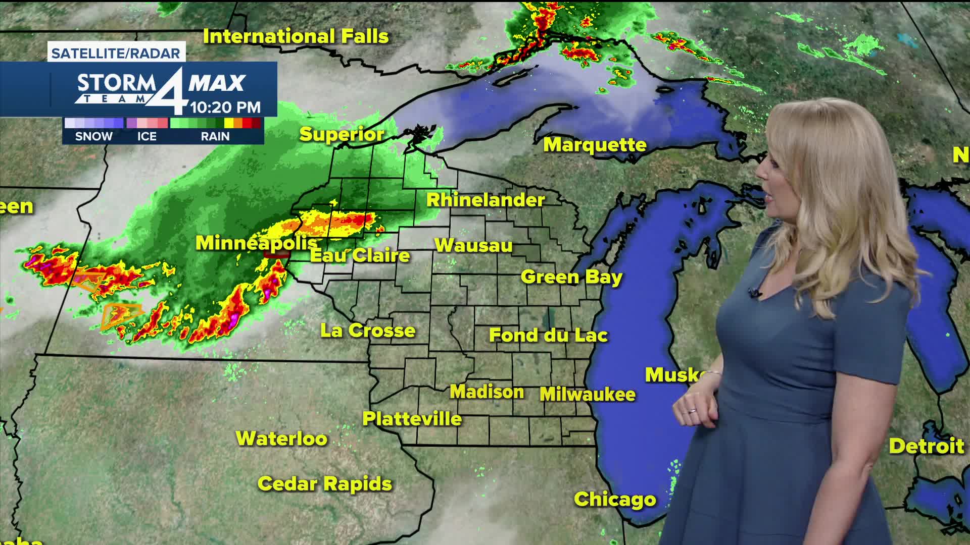
Tonight will be warm and muggy with lows only dropping into the mid-70s. A decaying storm system will be headed this way from Minnesota, with a few showers and thundershowers moving in early Monday morning.
Monday afternoon skies will clear out, and temperatures will turn hot. Highs will be in the low 90s with heat indices of 100-105. Take precautions to stay cool! There will be a slight chance for an afternoon pop-up storm.
Tuesday, we will see the chance for scattered rain and storms with humidity and heat lingering. A few showers are possible Wednesday, and there will be a noticeable drop in heat and humidity.
Thursday and Friday will be very pleasant days with cooler nights.
WATCH: Southeast Wisconsin weather: Heat Advisory Monday, cooler mid-week
TONIGHT: Warm and muggy with increasing clouds, sct. showers by morning
Low: 75
Wind: SW 5 mph
MONDAY: AM Shower, clouds, then mostly sunny, very hot and humid
High: 91
Heat Index: 100-105 in the afternoon
Wind: Var 5-15 MPH
TUESDAY: Mainly cloudy, scattered showers and storms
High: 87
WEDNESDAY: Chance shower or storm, cooler
High: 76
THURSDAY: Mainly sunny, breezy
High: 74
FRIDAY: Mainly sunny, nice
High: 75
It’s about time to watch on your time. Stream local news and weather 24/7 by searching for “TMJ4” on your device.
Available for download on Roku, Apple TV, Amazon Fire TV, and more.
