

Clouds clear out tonight, but some patchy fog may develop early tomorrow morning. Keep in mind that this fog may linger.
We eventually should see some sunshine during the day. With a light east breeze, cooler near the lake conditions will be in full force tomorrow. High temperatures will range from mid-40s lakeside to the mid-50s well inland.
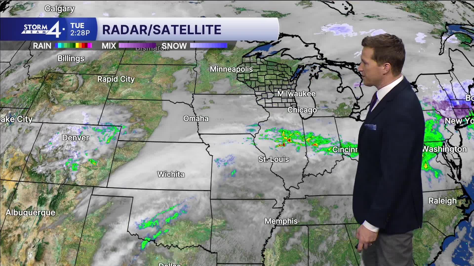
WATCH: When will we see warmer temps?
We end the week with multiple shower chances and, eventually, a surge of warm air.
The first shower chance arrives Wednesday night into Thursday. A better chance for rain arrives Friday.
TONIGHT: Partly Cloudy. Patchy Fog Late
Low: 30
Wind: NW 5 mph
WEDNESDAY: Ch. Fog Early. Partly Cloudy
High: 45 Lake 54 Inland
Wind: E 5 mph
THURSDAY: Scattered Showers
High: 46
FRIDAY: Partly Cloudy and Breezy. Showers Likely with Ch. Thunder
High: 57 Lake 64 Inland
SATURDAY: Mild With Ch. Showers Early
High: 63
It’s about time to watch on your time. Stream local news and weather 24/7 by searching for “TMJ4” on your device.
Available for download on Roku, Apple TV, Amazon Fire TV, and more.
