

After another chilly start, we're a little warmer this afternoon, with high temperatures returning to around 70 degrees.
More sunshine is on the way tomorrow and a west breeze should help bump our temperatures into the middle and upper 70s.
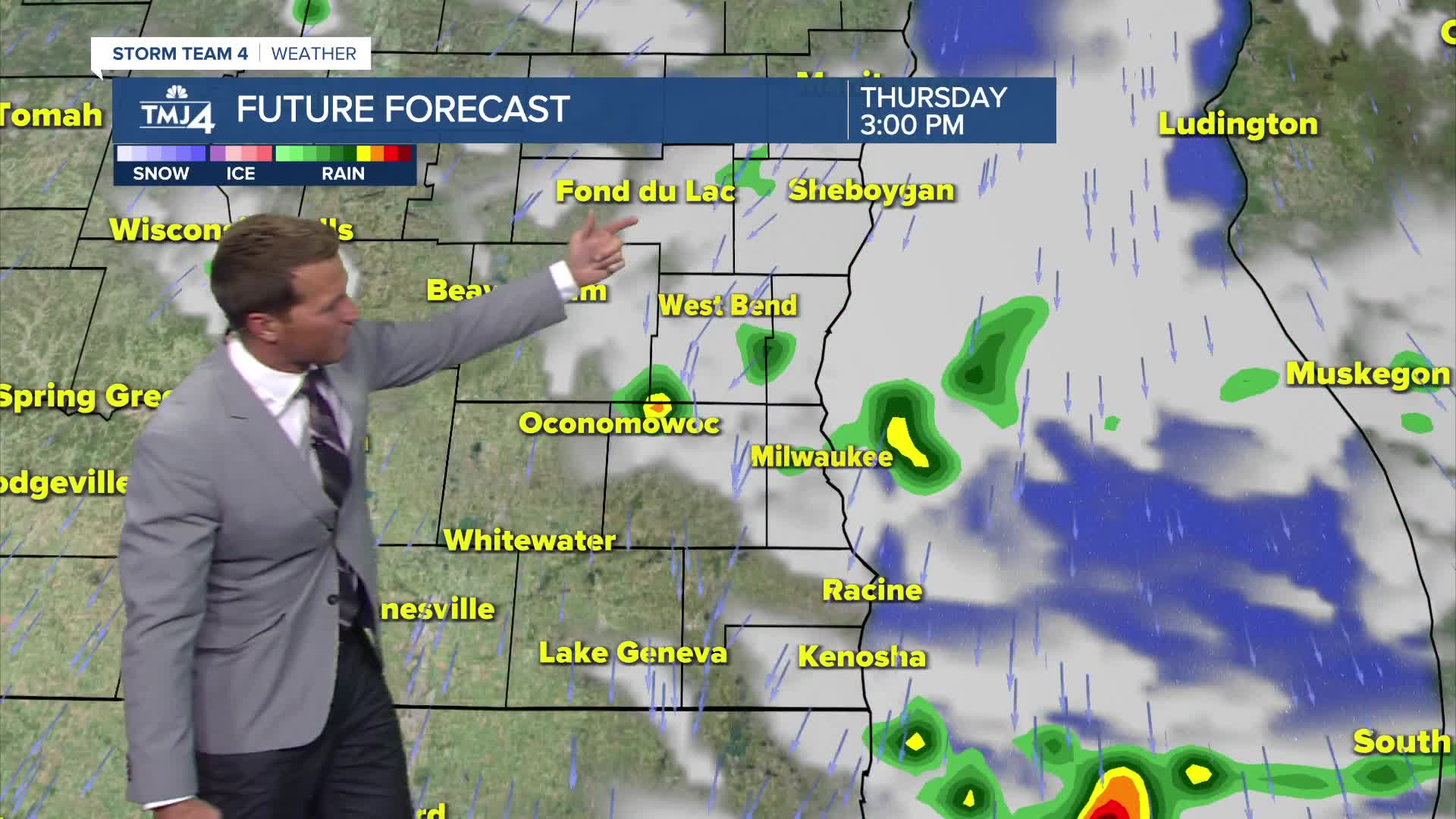
The next cold front brings scattered showers and storms Wednesday night through Thursday morning. Severe weather is not expected.
Watch: How long this cool down lasts:
The upcoming Labor Day weekend is still looking very nice. We'll start on the cool side with highs only around 70 Friday and Saturday. We warm well into the 70s on Sunday and close to 80 on Labor Day.
TONIGHT: Mostly Cloudy. Slight Ch. Showers
Low: 65
Wind: NE 5 mph
WEDNESDAY: Partly Cloudy and Breezy. Isolated Sprinkle
High: 77
Wind: NE 10-15 mph
THURSDAY: Mostly Sunny
High: 77
FRIDAY: Partly Cloudy. Ch. Showers At Night
High: 81
SATURDAY: Mostly Sunny
High: 77
It’s about time to watch on your time. Stream local news and weather 24/7 by searching for “TMJ4” on your device.
Available for download on Roku, Apple TV, Amazon Fire TV, and more.
