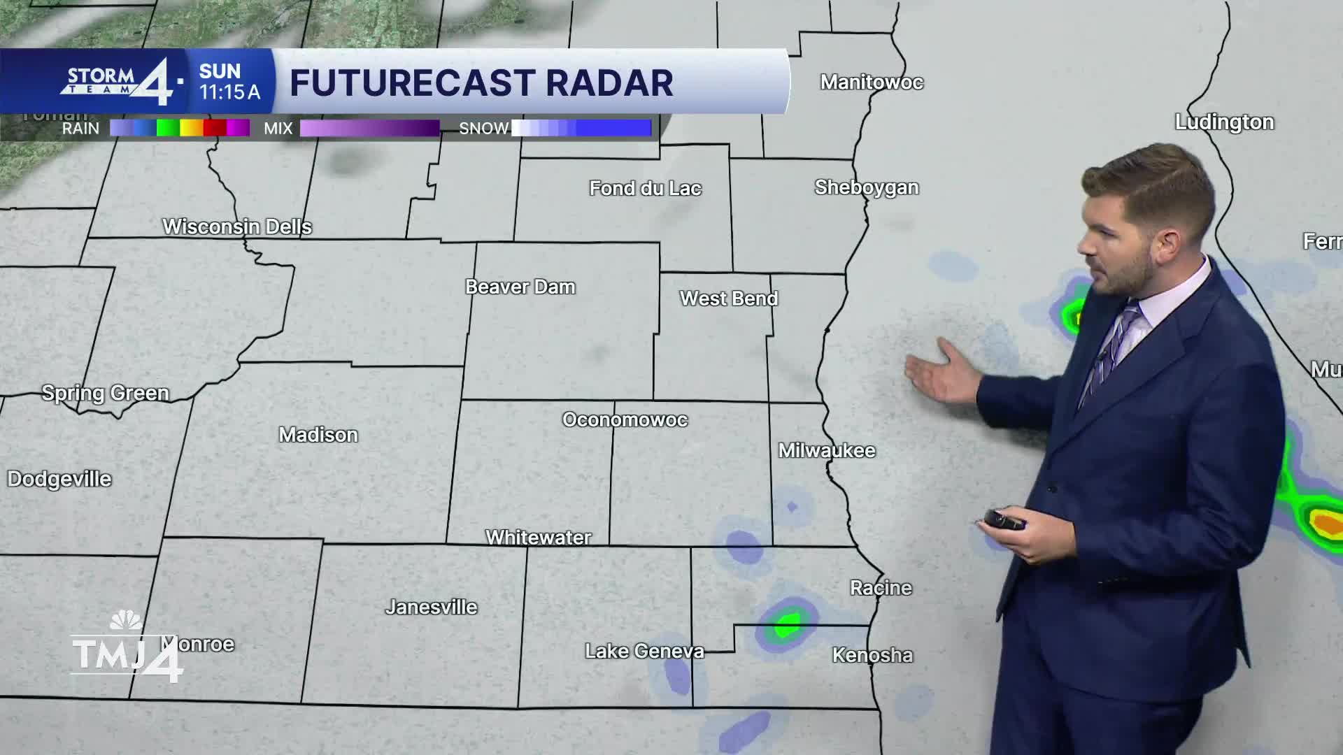


Cloud cover and NE winds allowed overnight lows to fall into the lower/mid-60s. An overall cooler and calmer day is forecast — with highs climbing into the mid-70s at the lakefront. Afternoon temperatures may reach the lower 80s farther inland. Thanks to cloud cover and a consistent NE wind, temperatures will be cooler today. There is also a chance for a few spotty showers today.
Cloud cover gives way to sunshine for Monday & Tuesday. Highs return to the upper 70s and lower 80s both days. The next chance of rain arrives Wednesday into Thursday along a cold front.
SUNDAY: Mostly Cloudy; Spotty Shower/Storm Possible
High: 75 Lake 81 Inland
Wind: NE 5-10 mph
TONIGHT: Partly Cloudy
Low: 62
Wind: N 5-10 mph
MONDAY: Mostly Sunny
High: 78
TUESDAY: Mostly Sunny
High: 83
WEDNESDAY: Partly Cloudy; Chance Showers
High: 87
THURSDAY: Chance Showers/Storms
High: 81
It’s about time to watch on your time. Stream local news and weather 24/7 by searching for “TMJ4” on your device.
Available for download on Roku, Apple TV, Amazon Fire TV, and more.
