

Fog has been dense lakeside all day and look for it to continue through tonight. The fog may actually expand into our inland counties overnight.
Low temperatures tonight will be in the 30s but should stay above freezing.
Watch: When we could see hail and severe storms:
Friday will be an interesting day of weather. A round of rain and storms is likely in the morning. The severe threat is low; however, I could see some storms with hail potential.
Expect hit-and-miss storms in the afternoon before another solid line of storms moves in late in the evening. This evening line of storms poses the greatest severe threat, especially if we're able to warm into the 60s.
TONIGHT: Cloudy, Foggy, Sprinkles
Lows: 38
Wind: Calm
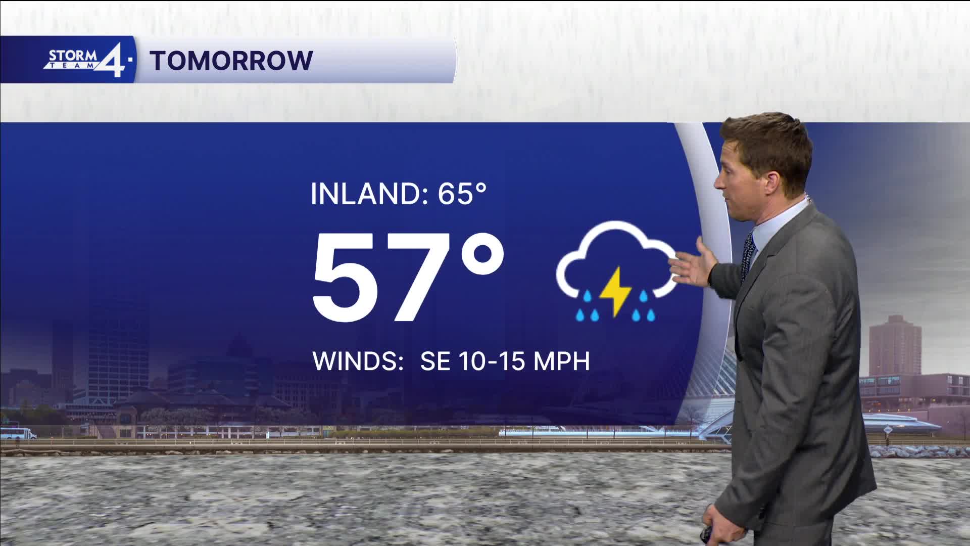
FRIDAY: Periods of Rain/T-Storms. Some Strong Late
High: 57 Lake 65 Inland
Wind: SE 10-15 mph
SATURDAY: Ch. Showers Early and Windy
High: 64 Early Then Falling Through Day.
SUNDAY: Mostly Sunny and Breezy
High: 60
MONDAY: Mostly Sunny
High: 67
It’s about time to watch on your time. Stream local news and weather 24/7 by searching for “TMJ4” on your device.
Available for download on Roku, Apple TV, Amazon Fire TV, and more.
