

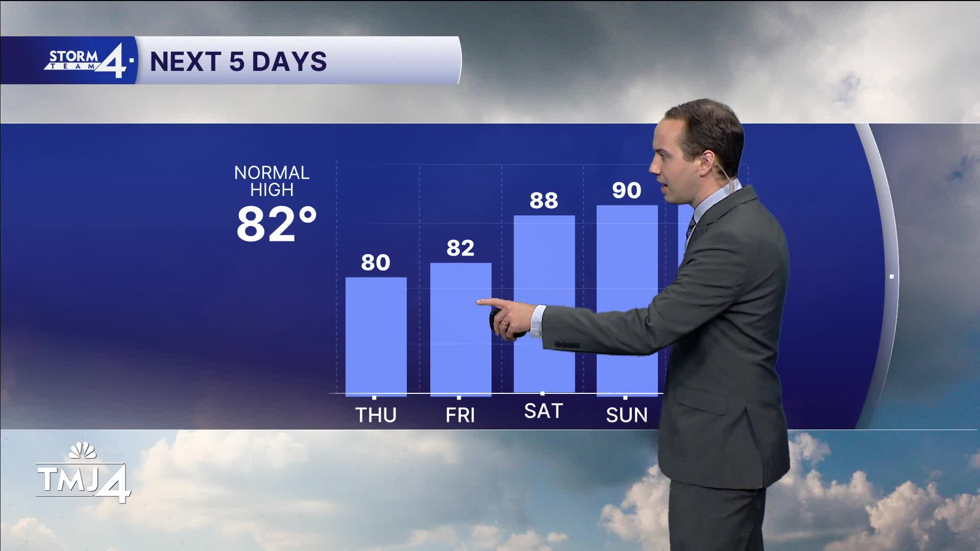


Pleasant weather for the next few days, with plenty of sunshine, low humidity, and a lack of wildfire smoke keeping our air quality in check. High pressure settles in through Saturday.
There's a minor chance of a pop-up Friday afternoon, but most will stay dry. Highs return to the upper 80s Saturday with higher humidity. Another shot at a few pop-ups by the lakeside Saturday.
WATCH: How long you can enjoy the cooler weather
No significant amount of rain to aid in the drought at this time. Sunday we return to the 90s with high humidity.
Increasing storm chances by nightfall continue into Monday as well.
Humidity starts to fall Tuesday as storms shift east.
TONIGHT: Clear and cool
Low: 56
Wind: Shifting W 5-10
THURSDAY: A touch warmer, sunny
High: 80
Wind: W/SE 5-10
FRIDAY: Increasing temps and a slight chance of a pop up
High: 82
Wind: SW/S 5-10
SATURDAY: Higher heat and humidity, Partly Cloudy - pop up near the lake
High: 88
Wind: SW 10-15
SUNDAY: Mostly sunny. Watching storms to the West. Hot and humid.
High: 90
Wind: NW/SE 5-10
MONDAY: Chance of storms. Hot and humid.
High: 92
Wind: SW/W 5-10
It’s about time to watch on your time. Stream local news and weather 24/7 by searching for “TMJ4” on your device.
Available for download on Roku, Apple TV, Amazon Fire TV, and more.
