

The Christmas week warmup is underway! A warm front is lifting northward through Wisconsin this morning, prompting scattered snow flurries. Dry air is preventing much of the snow from reaching the ground in southeastern Wisconsin. Areas north of Interstate 94 have the best chance of seeing minor accumulations and a slick spot or two.
Watch: How close we’ll get to 50 degrees by Christmas
Temperatures will warm into the upper 30s as clouds remain overhead.
Another quick round of drizzle or flurries is possible late this evening. Highs climb from the lower 40s tomorrow and Wednesday to the upper 40s on Christmas Day. A few spots could make a run at 50.
Scattered showers move in late Thursday into Friday as an area of low pressure passes to the north. Another quick cooldown sets in late this weekend and early next week.
MONDAY: Chance Snow/Rain Early; Mostly Cloudy & Mild
High: 38
Wind: S 5-10 mph
TONIGHT: Slight Chance Drizzle/Flurry; Mostly Cloudy
Low: 32
Wind: S 5 mph
TUESDAY: Partly Cloudy & Mild
High: 42
Wind: S 10 mph
WEDNESDAY: Partly Cloudy and Mild; Slight Chance Showers Late
High: 40
THURSDAY: Mostly Cloudy and Mild; Chance PM Rain
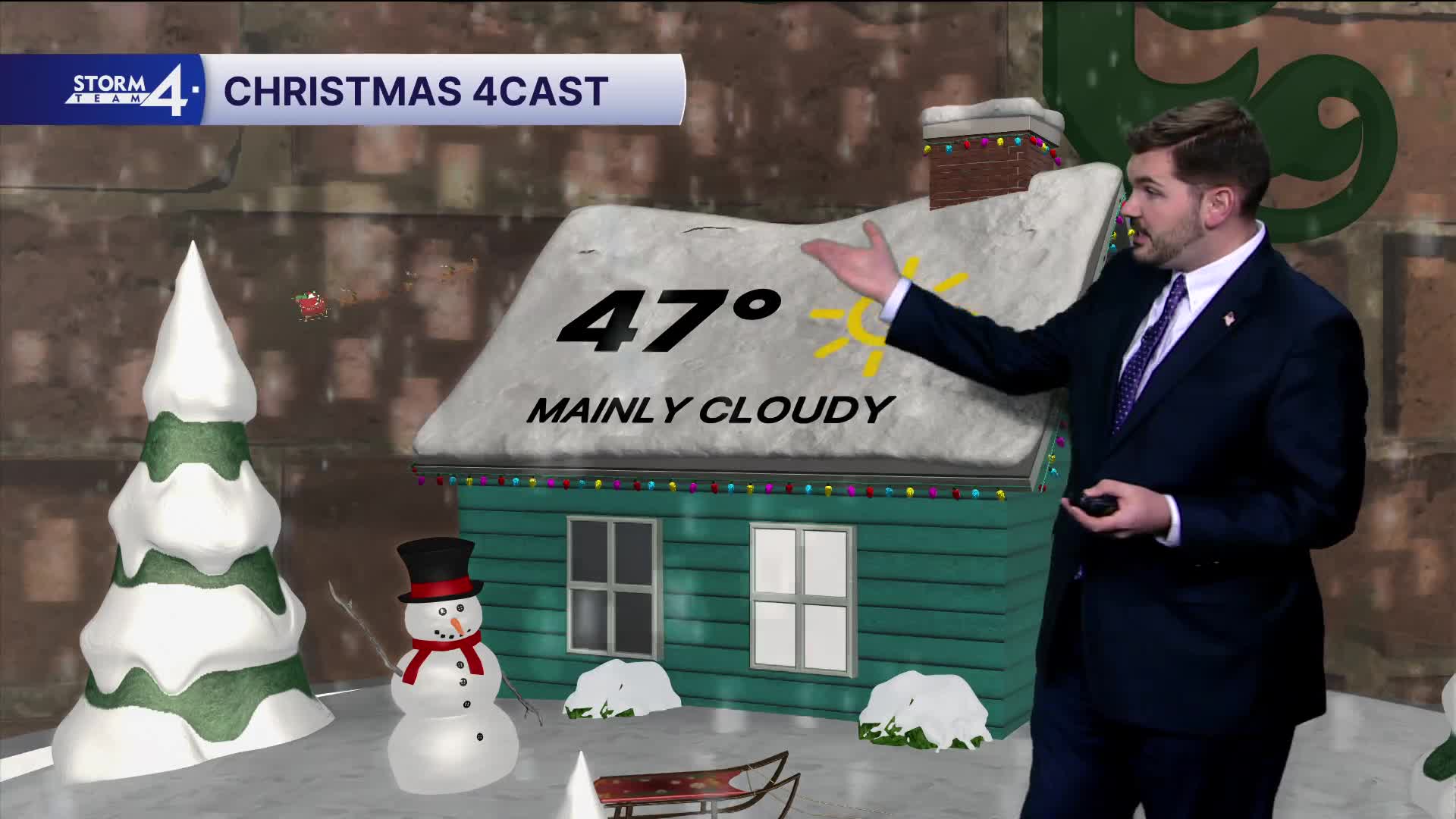
High: 47
FRIDAY: Chance Showers; Mostly Cloudy
High: 47
It’s about time to watch on your time. Stream local news and weather 24/7 by searching for “TMJ4” on your device.
Available for download on Roku, Apple TV, Amazon Fire TV, and more.
