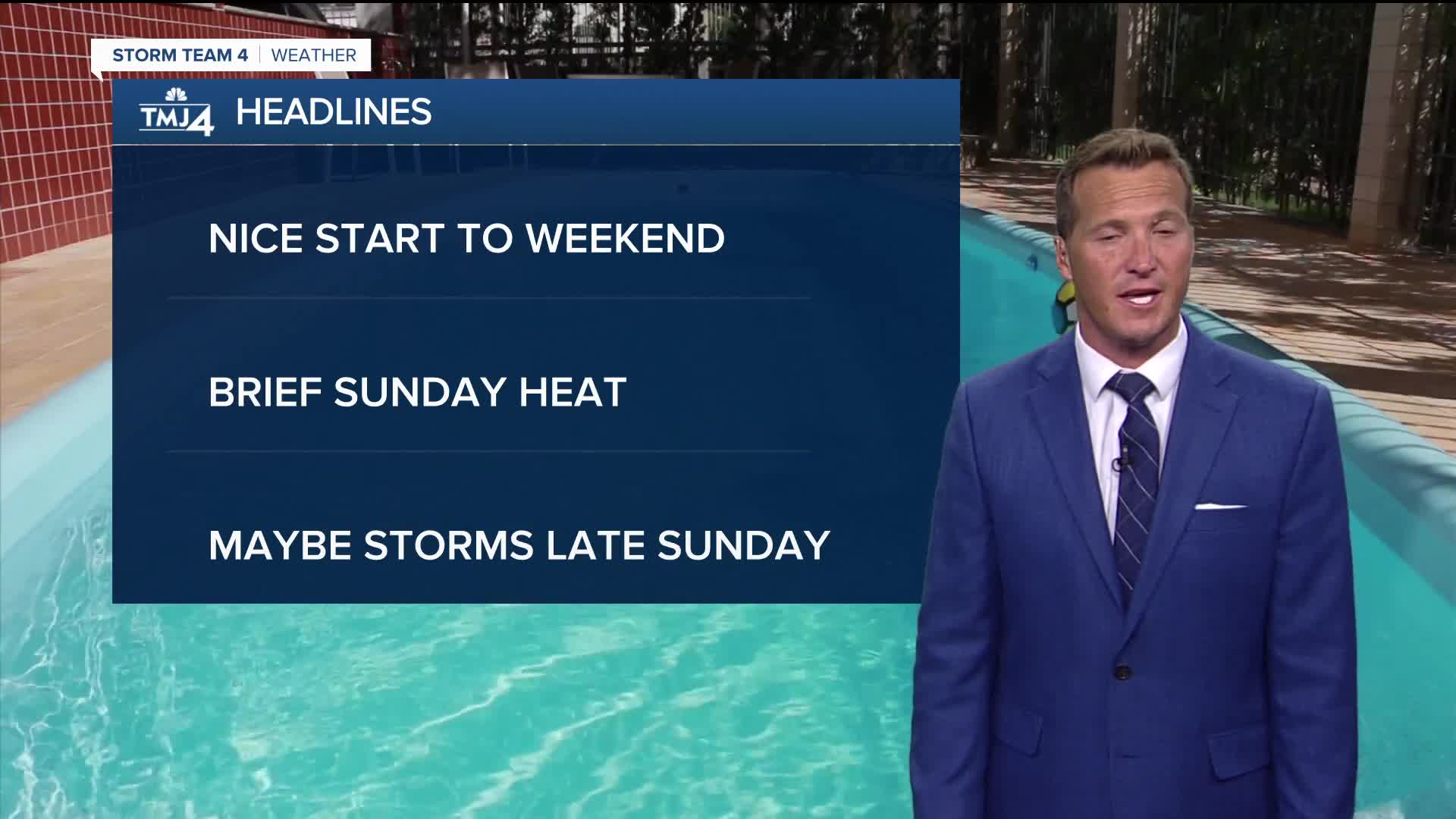


It was still quite warm and humid today with temperatures in the 80s and dew points around 70.
Skies should clear out tonight and we're in for more sunshine on Saturday. We're also going feel more of an influence from Lake Michigan on Saturday with highs in the middle 70s right along the lake to middle 80s inland.
Watch: When heat and humidity quickly returns
90-degree heat is set to return for Sunday along with a chance for storms popping up in the afternoon and evening.
The long-term trend heading into the 4th of July weekend looks pretty typical. I'm seeing lots of daytime highs in the 80s, waves of humidity, and few chances for summertime scattered storms.
TONIGHT: Mainly Clear
Low: 62
Wind: NW 5-10 mph
SATURDAY: Mostly Sunny
High: 78 Lake 85 Inland
Wind: SE 5-10m ph
SUNDAY: Partly Cloudy, Hot, Humid. Ch. T-Storms Late
High: 91
MONDAY: Mostly Cloudy and Humid. Slight Ch. Showers
High: 85
TUESDAY: Partly Cloudy
High: 83
It’s about time to watch on your time. Stream local news and weather 24/7 by searching for “TMJ4” on your device.
Available for download on Roku, Apple TV, Amazon Fire TV, and more.
