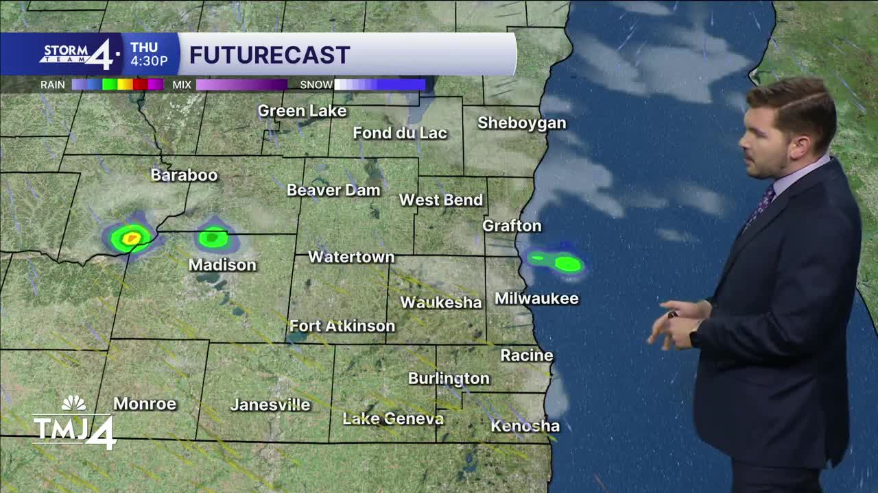

After yesterday's storms, calmer weather sets in for the weekend. A pop-up shower/storm is possible later this afternoon. The strongest storm may contain small hail. Widespread severe weather is not expected. Overnight lows fall into the mid-50s.
An area of low-pressure passes to the South tomorrow — throwing cloud cover across southern Wisconsin. Highs remain in the upper 60s and lower 70s. After more sunshine on Saturday, cloud cover increases for Sunday. Highs jump into the 80s and 90s next week as a ridge of high-pressure locks in over the eastern US.
THURSDAY: Partly Cloudy and Breezy; Slight Ch. PM Shower/Storm
High: 73
Wind: W 5-10 mph
TONIGHT: Mostly Cloudy
Low: 55
Wind: NE 5 mph
FRIDAY: Partly Cloudy
High: 68 Lake 73 Inland
SATURDAY: Mostly sunny
High: 74 Lake 80 Inland
SUNDAY: Partly Cloudy, Warm and More Humid; Slight Ch. T-Storms
High: 83 Lake 88 Inland
MONDAY: Mostly Sunny
High: 94
It’s about time to watch on your time. Stream local news and weather 24/7 by searching for “TMJ4” on your device.
Available for download on Roku, Apple TV, Amazon Fire TV, and more.
