

Scattered rain showers are scheduled to move in this evening and continue through the night. In general, the rainfall will be light with less than .10" expected.
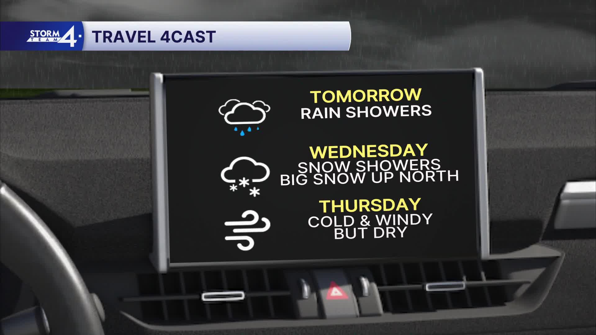
Low pressure to our north will strengthen through the day tomorrow. A swath of heavy snow is expected across northern Wisconsin, but we'll just see a few more rain showers tomorrow afternoon and evening.
Watch: When you might be dodging some rain & snow
Once we find ourselves on the colder backside of the low-pressure system Wednesday, we'll likely see a transition over to snow showers. Up to 1" of snow accumulation is possible, mainly on the grass.
Cold air settles in for Thanksgiving, and we're watching another potential storm system for this coming weekend.
MONDAY: Increasing Clouds; PM Drizzle
High: 50
Wind: SW 5-15 mph
TONIGHT: Chance Rain/Drizzle; Patchy Fog
Low: 43
Wind: S 5 mph
TUESDAY: Chance Showers
High: 52
WEDNESDAY: Mostly Cloudy, Windy & Cooler; Chance Spotty Rain/Snow Mix
High: 38
THANKSGIIVING: Partly Cloudy, Breezy & Cooler
High: 33
FRIDAY: Sunny and chilly
High: 32
It’s about time to watch on your time. Stream local news and weather 24/7 by searching for “TMJ4” on your device.
Available for download on Roku, Apple TV, Amazon Fire TV, and more.
