
Strong winds will persist through the night, but the light snow should taper off by 7 p.m. this evening. There may be a few slippery spots on the road, especially north of Milwaukee and as the sun sets.
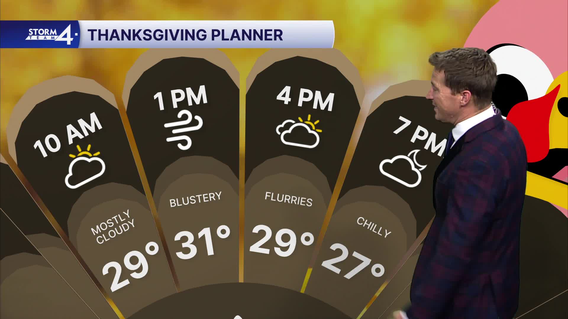
Winds will gust over 40 mph through the night. It's going to be a windy and chilly Thanksgiving. A few flurries will also be possible.
Watch the latest on weekend snow chances:
We're closely monitoring the track of a potential snowstorm this weekend. As of right now, accumulating snow is looking likely for Saturday afternoon and into Saturday night. We'll be able to provide more details by tomorrow.
TONIGHT: Light Snow Ending. Windy and Cold
Low: 25
Wind: W 20-30 mph
THURSDAY: Mostly Cloudy, Windy, and Cold. Few Flurries Possible
High: 31
Wind: NW 15-25mph
FRIDAY: Partly Cloudy and Cold
High: 32
SATURDAY: Mostly Cloudy. PM Snow Likely. Some Accumulation Likely.
High: 32
SUNDAY: Snow Early. Mostly Cloudy
High: 31
It’s about time to watch on your time. Stream local news and weather 24/7 by searching for “TMJ4” on your device.
Available for download on Roku, Apple TV, Amazon Fire TV, and more.
