

Despite being colder, it turned out to be a pretty nice winter Sunday to finish some Christmas shopping.
We're watching a warm front approaching from the west. An area of light snow will eventually develop ahead of this front.
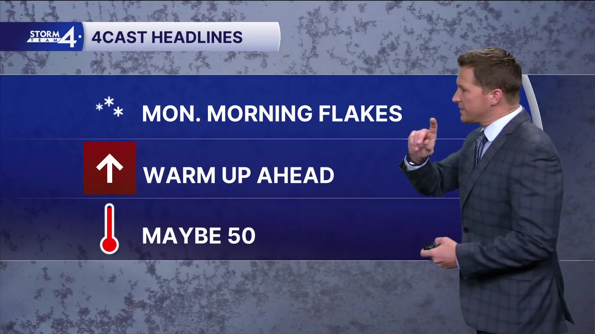
This area of light snow will probably move into Southeast Wisconsin by early Monday morning. The precipitation may change to a light rain and snow mix by late morning. Only very minor slushy snow accumulation expected.
Watch: Will it warm up again for Christmas?
The big weather story this holiday week is the well-advertised warm up. Record warmth is expected to our south with highs expected in the 60s and 70s across the plains.
We'll climb into the 40s and maybe 50 by Christmas.
SUNDAY NIGHT: Increasing Clouds. Ch. Light Snow Late
Low: 24
Wind: SW 10 mph
MONDAY: Ch. Mix Early. Mostly Cloudy & Mild
High: 40
TUESDAY: Partly Cloudy & Mild
High: 43
Wind: S 10 mph
WEDNESDAY: Partly Cloudy and Mild. Slight Ch. Showers Late
High: 43
THURSDAY: Mostly Cloudy and Mild. Ch. Showers
High: 50
It’s about time to watch on your time. Stream local news and weather 24/7 by searching for “TMJ4” on your device.
Available for download on Roku, Apple TV, Amazon Fire TV, and more.
