
If you wanted a taste of what the middle of winter should feel like, you were in luck today. It's still going to feel like the middle of winter tonight, but maybe not quite as chilly as last night. Lows will be around 10 by the lake and mid single-digits inland.
The wind will start to pick up out of the SW through the night, dropping wind chills from the single digits to around 10 degrees below zero. Clouds will also be on the increase.
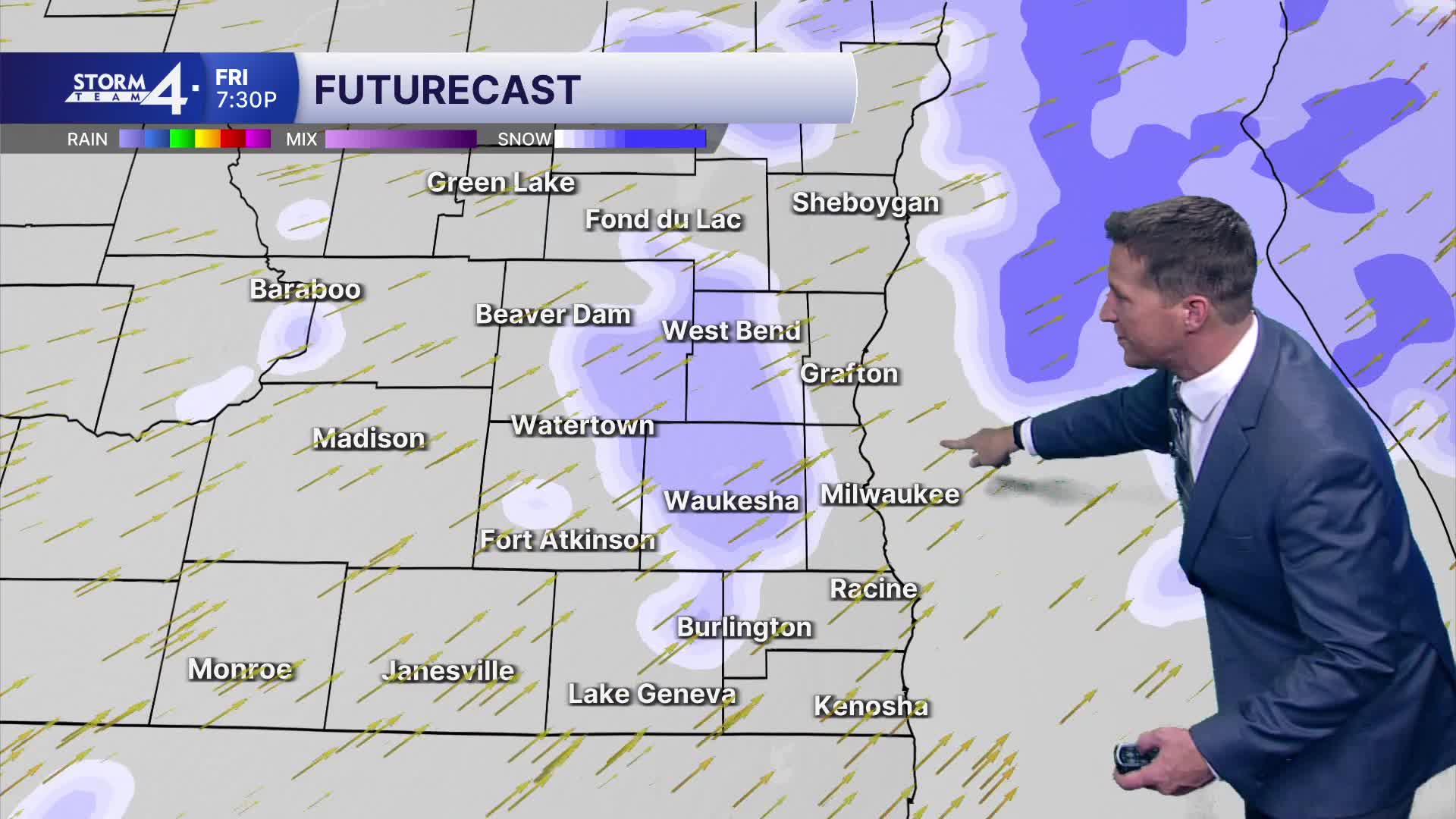
Friday will still be cool for this time of year and also blustery. At least our temperatures will top out in the upper 20s. There will be a small chance of a few flurries or a light wintry mix late in the day.
That chance of a light wintry mix continues as we head into Friday night, but it should be a very minor event if anything sticks at all. Lows will be around 20.
Watch: When temperatures will rise above freezing
Saturday looks fine during the day with highs in the upper 20s. There's a chance of a little light snow or flurries on Saturday night. Once again, if anything would fall, it would be minor of maybe either side of one inch.
Sunday, any lingering flurry or snow shower would end in the morning, then it will still be chilly with highs in the low 20s.
Monday looks okay until another clipper rolls through Monday night, possibly bringing another minor snow event.
We're kind of caught in this chilly pattern for the time being, with 20s and maybe a few low 30s the rest of the next 7 days.
TONIGHT: Becoming blustery again and still chilly with increasing clouds.
Lows: 10 lakefront... 6 inland.
Wind: SW 10-20 MPH.
FRIDAY: Partly cloudy and still a bit blustery
with a chance of a few flurries or a little wintry mix late in the day.
High: 28.
Wind: SW 10-20 MPH.
FRI NITE: A chance of a few snow showers
or a light wintry mix.
Low: 20.
SATURDAY: Partly Cloudy with a chance of some light
snow at night.
High: 28.
SUNDAY: A chance of a few morning flurries or a snow shower,
otherwise partly cloudy and still chilly.
High: 23.
MONDAY: Partly cloudy during the day,
then a chance of some light snow at night.
High: 23.
It’s about time to watch on your time. Stream local news and weather 24/7 by searching for “TMJ4” on your device.
Available for download on Roku, Apple TV, Amazon Fire TV, and more.
