

Happy December! Today is the first day of Meteorological Winter but we are 20 days away from the start of Astronomical Winter and the winter solstice. I have to say it looks and feels like winter across SE Wisconsin.
We saw 8-12 inches of snow this weekend, and temperatures have been below average. This morning, we fell to the single digits and teens across the area.
If, and when, Milwaukee falls below 10 degrees this week, this would be the first single-digit temperature since February!
Watch: When we’ll see our next round of snow
We are watching snow showers as another area of low pressure creeps into the Great Lakes region. We could see another dusting of snow this evening and overnight. Accumulations range from 1-2 inches at the most. Overnight lows drop into the teens.
Sunshine is back on Tuesday with highs in the mid-20s.
Another round of snow showers crosses Wisconsin on Wednesday — this time mainly to the North.
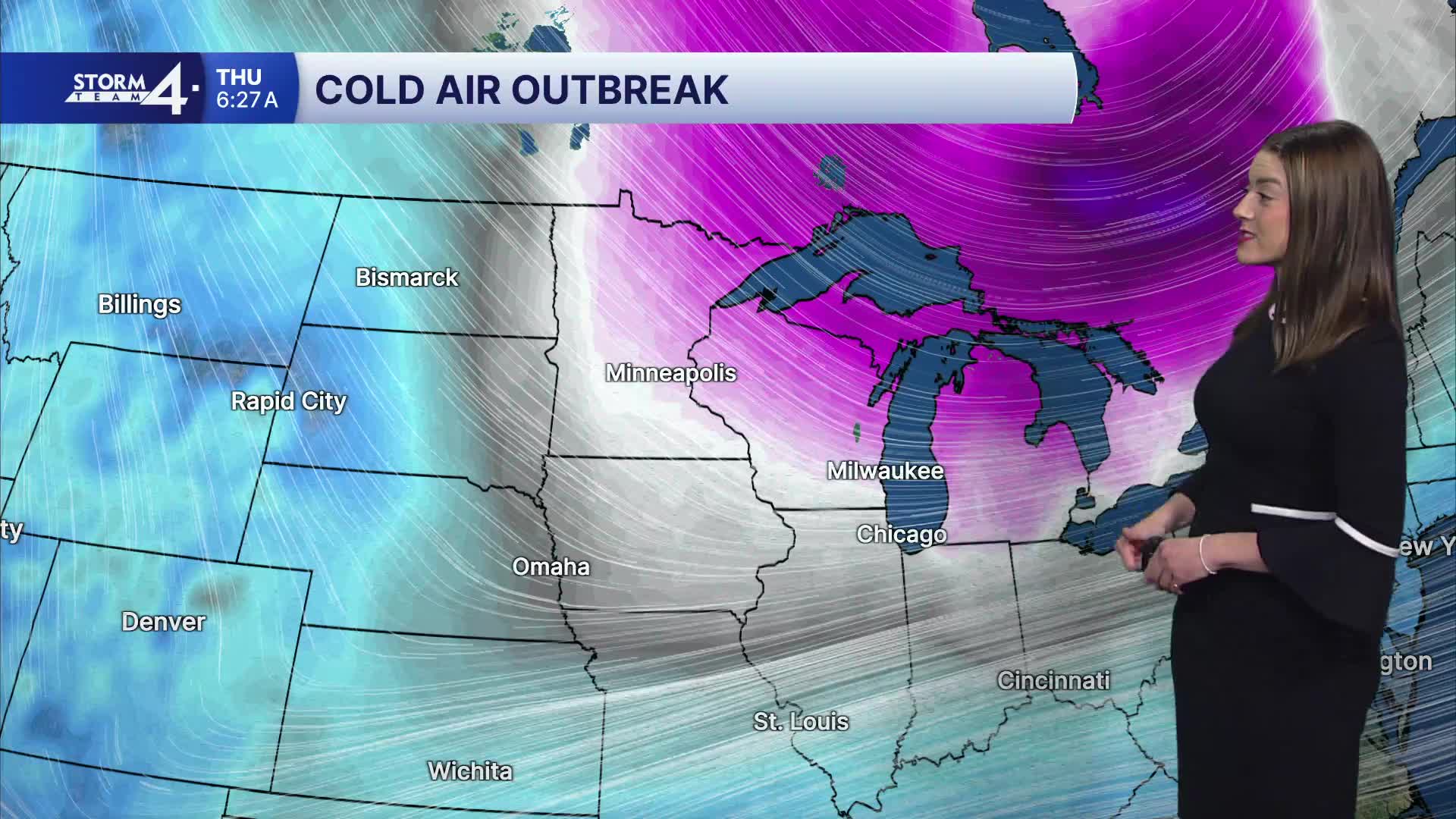
This week will be cold. High and low temperatures will be 10 to even 20 degrees below normal.
MONDAY: Partly Sunny & Cold, PM Snow likely
Accumulations: Up to 2 inches
High: 29
Wind: W/SW 5 mph
TONIGHT: Snow Showers Ending; Mostly Cloudy & Cold
Low: 15
Wind: SW 5-10 mph
TUESDAY: Mostly Sunny
High: 25
Wind: NW 5-10 mph
WEDNESDAY: Chance Snow; Mostly Cloudy
High: 33
THURSDAY: Mostly Sunny & Cold
High: 15
FRIDAY: Partly Sunny
High: 24
It’s about time to watch on your time. Stream local news and weather 24/7 by searching for “TMJ4” on your device.
Available for download on Roku, Apple TV, Amazon Fire TV, and more.
