

It's been a pretty crummy day with grey skies along with drizzle and flurries. Gusty winds made it feel even worse. The light drizzle and flurries will wrap up by 8 pm this evening and skies eventually clear out overnight.
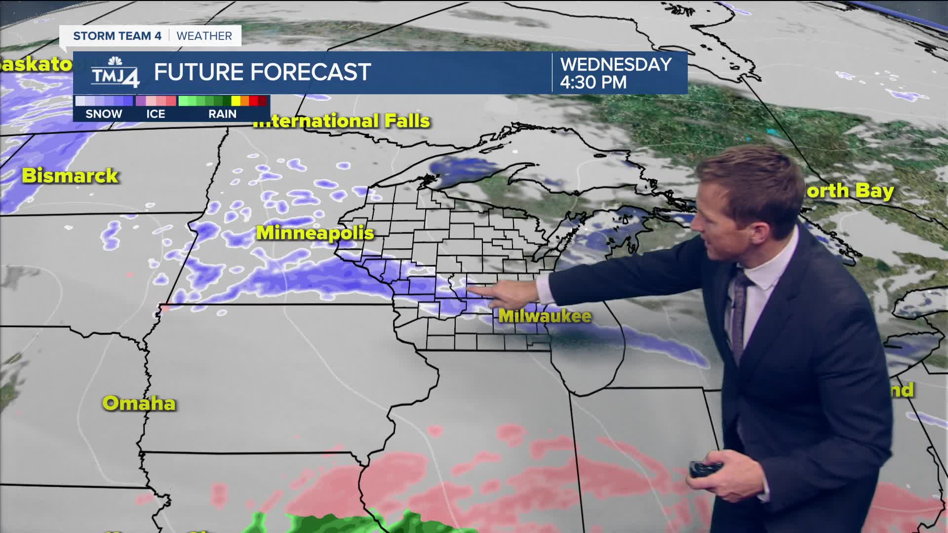
We have two potential storm systems in play later this week. The first one likely bring a round of light freezing rain to the area Wednesday night. Up to a tenth of an inch of ice is possible. A bigger winter storm could bring the return of accumulating snow on Saturday. This one is worth watching closely.
TONIGHT: Drizzle Early and Breezy. Clearing Late.
Low: 20
Wind: NW 10-15 mph
TUESDAY: Bec. Mostly Cloudy and Colder
High: 27
Wind: N 5-10 mph
WEDNESDAY: Cloudy with Mix/Frz. Rain moves in late.
High: 32
THURSDAY: Mostly Cloudy and Mild
High: 40
FRIDAY: Partly Cloudy
High: 28
It’s about time to watch on your time. Stream local news and weather 24/7 by searching for “TMJ4” on your device.
Available for download on Roku, Apple TV, Amazon Fire TV, and more.
