

Yes, it is still cold. We don't have any major forecast changes, meaning the whole week will be cold.
We finally hit double digits today! Highs are below average for the 11th day in a row. Who's counting!
Temperatures will fall to 0 degrees tonight. Wind chill values may be down to -10 degrees overnight. This is cold, but not cold enough for an advisory.
Watch: When we could see snow again
Wednesday's weather is similar to today. High temperatures will barely make it to the double digits. We will see partly cloudy skies and westerly winds.
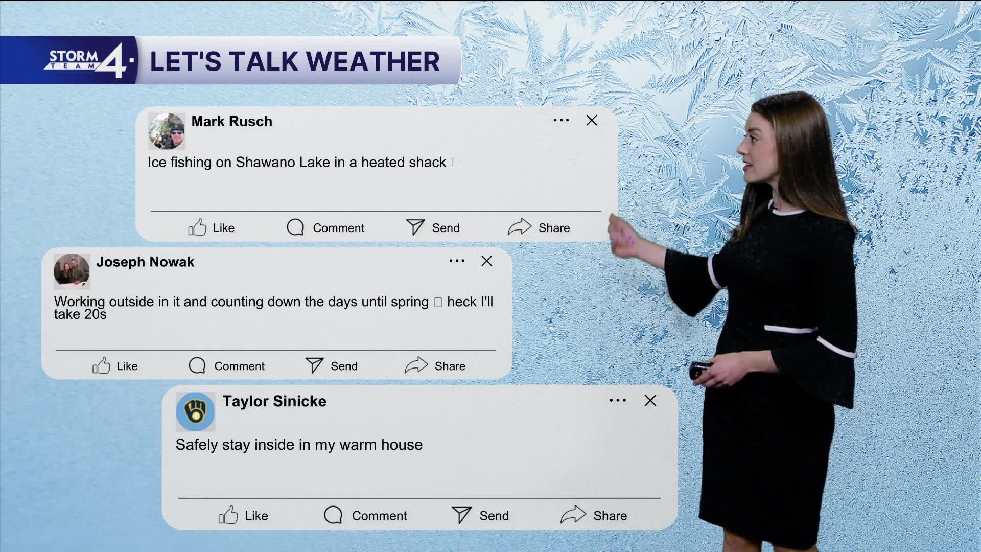
Chilly temperatures in the teens will continue to the weekend with a relatively quiet weather pattern. We may hit 20 degrees this weekend - what a treat!
Storm Team 4 is monitoring lake-effect snow chances from Friday into Saturday. Stay tuned for updates.
HERE'S YOUR LATEST STORM TEAM WEATHER FORECAST FOR MILWAUKEE
AND SOUTHEASTERN WISCONSIN BY METEOROLOGIST LAUREN LARSEN
TONIGHT: Clouds Decreasing
Low: 0
Wind: W 5-10 mph
WEDNESDAY: Mostly Sunny
High: 11
Wind: W 10-15 mph
THURSDAY: Mostly Sunny, Snow Showers Late
High: 11
FRIDAY: Chance Snow, Mostly Cloudy
High 18
SATURDAY: Some Sun
High: 22
SUNDAY: Chance Snow showers
High: 24
It’s about time to watch on your time. Stream local news and weather 24/7 by searching for “TMJ4” on your device.
Available for download on Roku, Apple TV, Amazon Fire TV, and more.
