

After some morning clouds, it's been a really nice day with a refreshing breeze off Lake Michigan. We still can't rule out a stray shower early this evening, mainly southwest of metro Milwaukee.
Skies remain mainly clear tonight with lows in the lower 60s.
Will the weather clear up for Harley Homecoming weekend?:
Our weather pattern looks active for this year's Harley Homecoming. A round of thunderstorms is possible Thursday evening, followed by another potential round Friday morning.
As of right now, it looks like there will be a lull in the action Friday afternoon through Saturday morning, before our best chance for rain/storms arrives Saturday afternoon.
TONIGHT: Mainly Clear
Low: 64
Wind: NE 5-10 mph
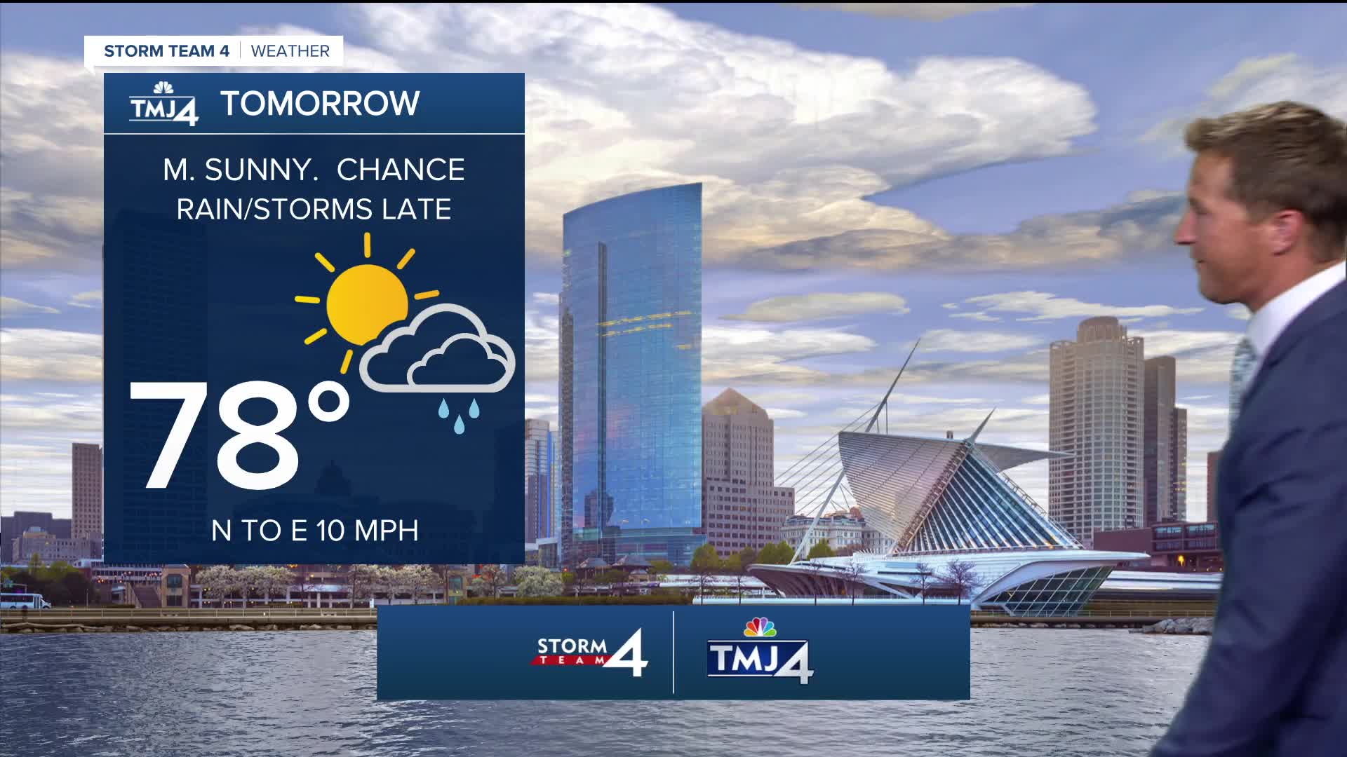
THURSDAY: Mostly Sunny. Ch. T-Storms Late.
High: 78 Lake 83 Inland
Wind: N to E 10 mph
FRIDAY: Partly Cloudy, Warm, and Humid. Ch. T-Storms, Mainly Early.
High: 84
SATURDAY: Partly Cloudy, Warm, and Humid. Rain/T-Storms Likely Late
High: 85
SUNDAY: Mostly Sunny
High: 80
MONDAY: Mostly Sunny and Warm
High: 84
It’s about time to watch on your time. Stream local news and weather 24/7 by searching for “TMJ4” on your device.
Available for download on Roku, Apple TV, Amazon Fire TV, and more.
