



After strong and severe storms Monday afternoon, we are in a calm stretch for a few days.
Tonight we continue with clear skies and calming winds, with lows in the mid 60s.
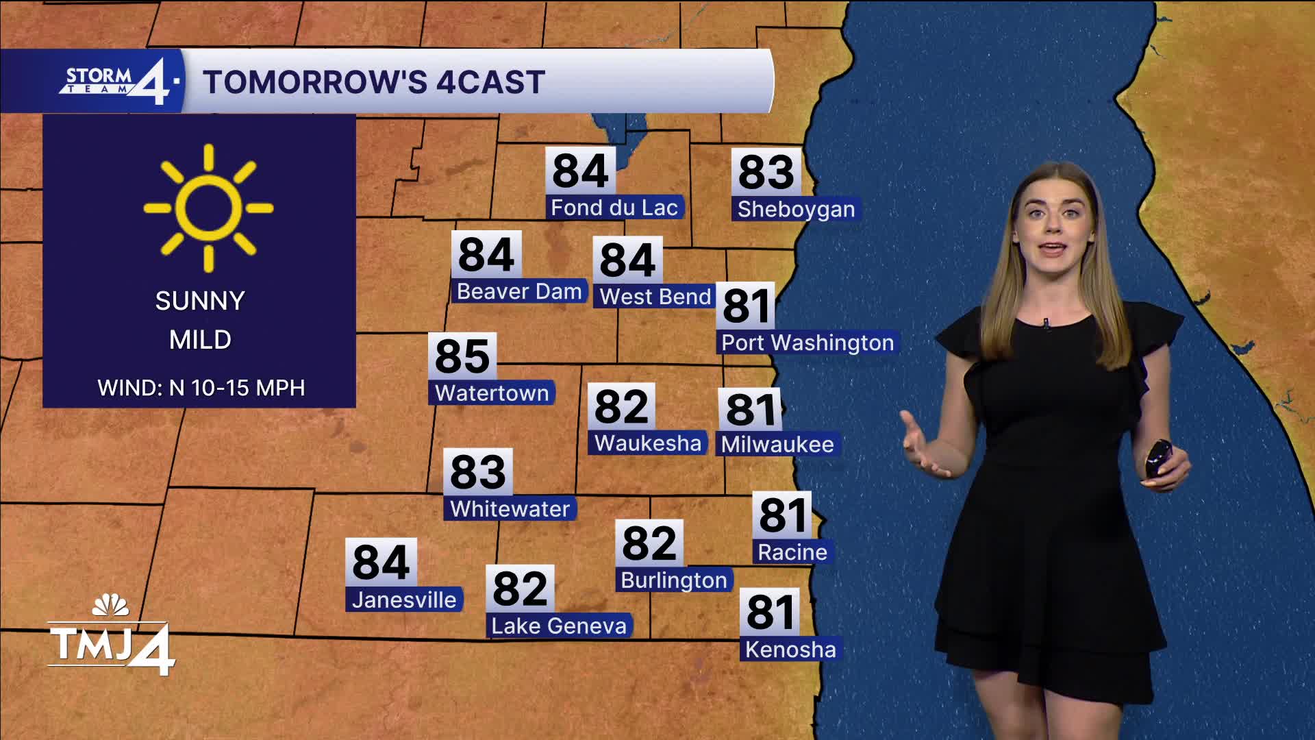
Wednesday is the pick day of the work week, with the humidity low and dry, and highs in the low 80s. Plenty of sunshine, but some wildfire smoke may be overhead. We have nothing to push it to the surface (usually a cold front, etc), so air quality will not be impacted at this time.
WATCH: When the rain returns
Thursday, heat and humidity return with highs in the upper 80s, and a pop-up shower possible.
Friday and into the weekend is our next chance at rain in the forecast. This does not appear to be strong or severe at this time, as the dynamics are favoring widespread showers, with a few rumbles possible. Rain totals range from 0.5-1" possible leading into Saturday morning.
The weekend is 50/50 with lingering rain Saturday morning and highs in the low 80s. Still muggy. Gradual clearing through the day.
Sunday is better with mostly sunny skies and showers likely in central WI.
TONIGHT: Gradual clearing skies.
Low: 64
Wind:
WEDNESDAY: Pick day of the week. Low humidity and plenty of sun.
High: 81
Wind: NE 5-10
THURSDAY: Return to heat and mugginess. Chance of a pop up shower.
High: 88
Wind: SW/S 5-10
FRIDAY: Mostly cloudy with rain likely through the day. Humid.
High: 86
Wind: SW/S 5-10
SATURDAY: Early showers with gradual clearing. Muggy.
High: 81
Wind: NE 5-10
SUNDAY: More sunshine but still muggy.
High: 81
Wind: NE 5-10
It’s about time to watch on your time. Stream local news and weather 24/7 by searching for “TMJ4” on your device.
Available for download on Roku, Apple TV, Amazon Fire TV, and more.
