



Looking great today with highs in the upper 70s and low 80s across SE Wisconsin. Plenty of sunshine with increasing humidity.
Tuesday features highs in the mid 80s with increasing clouds, signaling our next weather system. Muggy conditions also return.
WATCH: When rain chances return
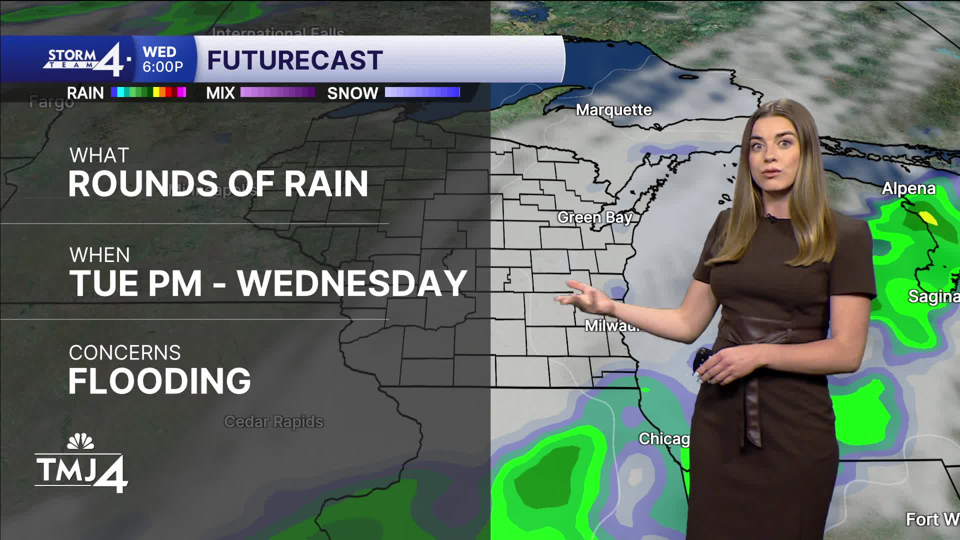
Overnight into much of Wednesday, we have a stalled frontal boundary that will result in repeated rounds of rain at times. Overall, 2 to 4 inches of rain may fall through the day and exit Thursday morning. Flooding is possible with any storms that park over an already waterlogged area.
Following the rain, temps will rise into the low to mid 80s for the weekend with increasing humidity.
TONIGHT: Clear skies. Muggy at times.
Low: 65
Wind: SE 5-10 turning SW
TUESDAY: Increasing clouds, pop up showers in the afternoon.
High: 85
Wind: SW 5-10
WEDNESDAY: Rounds of rain, heavy at times. 2 to 4" possible accumulation.
High: 76
THURSDAY: Early showers
High: 77
FRIDAY: Mostly sunny, muggy
High: 83
SATURDAY: Mostly sunny, humid
High: 85
It’s about time to watch on your time. Stream local news and weather 24/7 by searching for “TMJ4” on your device.
Available for download on Roku, Apple TV, Amazon Fire TV, and more.
