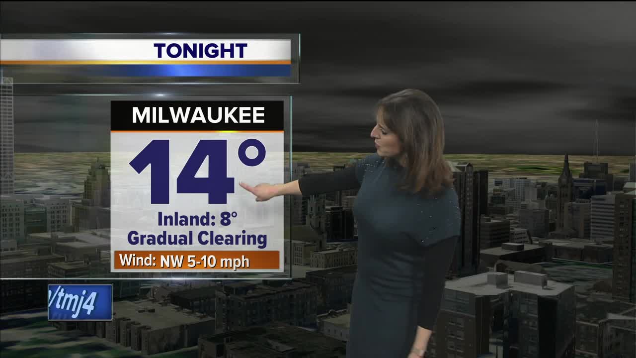

Skies will be slowly clearing late tonight with temperatures falling into the teens near Lake Michigan and single digits inland. The wind will be lighter so wind chills will mainly hover above zero tonight and Monday morning.
Martin Luther King Jr. Day will become mostly sunny with seasonal highs in the mid-20s and a light wind. A near repeat forecast is expected for Tuesday with sunshine and highs in the mid to upper -20s. We'll warm above freezing on Wednesday with the clouds rolling in ahead of our next storm system which looks to bring snow by Wednesday night. The snow will mix in with some sleet and rain on Thursday with highs climbing into the upper 30s during the afternoon.
A wintry mix is still possible for Friday with highs flirting with 40 degrees before the colder air wraps around by nightfall to change the precipitation back over to snow, ending on Saturday morning. The track on this storm system is still uncertain, which may change what type of precipitation we are expecting, so stay tuned to the evolving forecast.
HERE'S YOUR LATEST STORM TEAM WEATHER FORECAST FOR MILWAUKEE AND SOUTHEASTERN WISCONSIN BY JESSE RITKA
TONIGHT: Cold with clearing late.
Low: 14 Lakefront... 8 Inland.
Wind: NW 5-10 mph.
MLK JR DAY: Becoming mostly sunny, seasonably cool.
High: 25.
Wind: NW 5-10 mph.
TUESDAY: Mostly sunny, seasonal.
High: 27.
Wind: SW 5-10 mph.
WEDNESDAY: Increasing clouds, breezy and warmer.
High: 35.
THURSDAY: Wintry mix chance.
High: 38.
