



LAKE GENEVA, Wis. — Storms that developed in northwest Illinois Friday morning quickly intensified as they moved into southeastern Wisconsin, producing widespread wind damage across Walworth County consistent with a downburst rather than a tornado, according to the National Weather Service in Milwaukee.
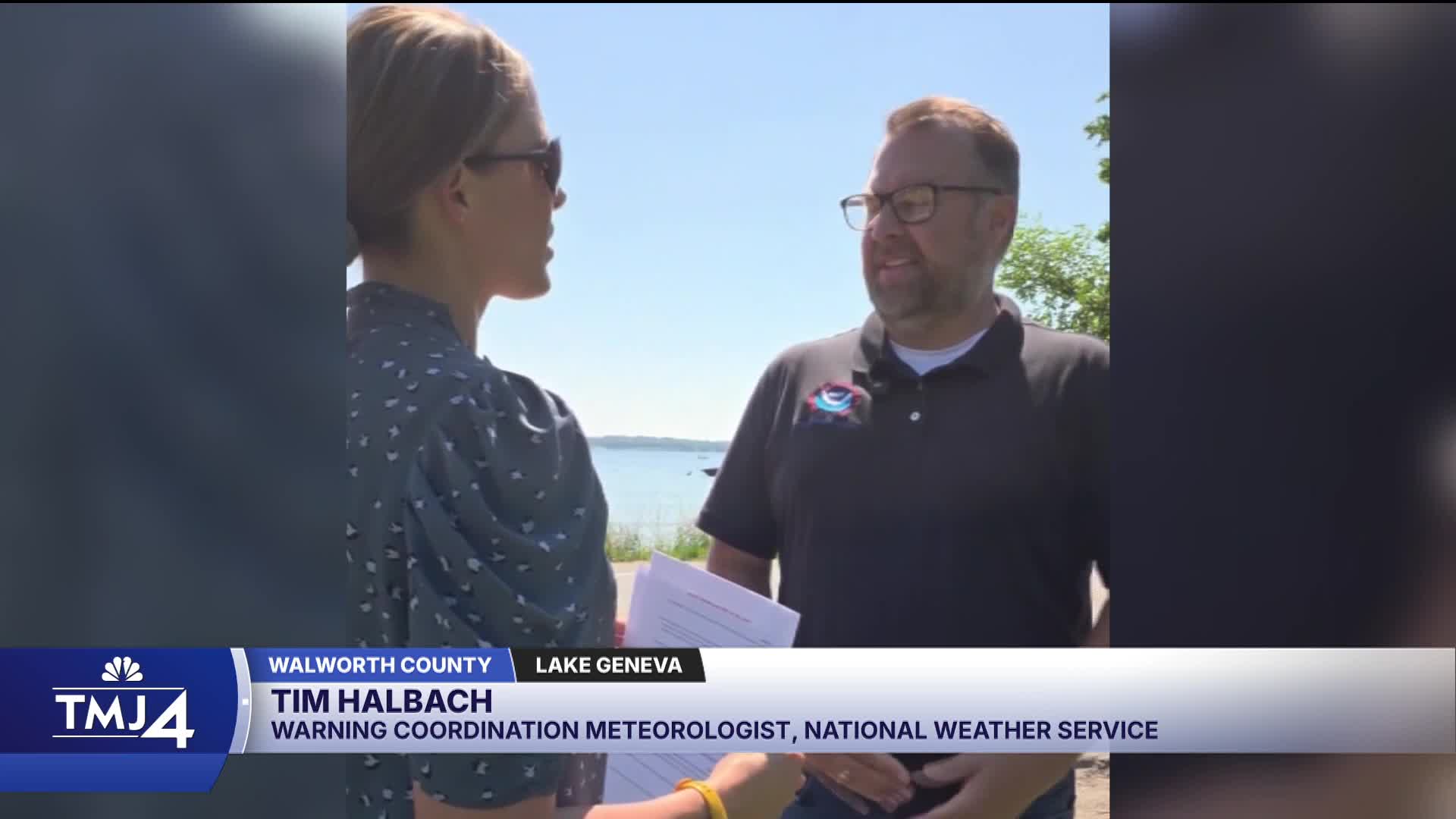
Tim Halbach, Warning Coordination Meteorologist for the National Weather Service Milwaukee Office, said forecasters had been monitoring the potential for severe weather throughout the week leading up to the Fourth of July weekend but faced challenges pinpointing exactly when and where storms would develop.
"Just leading up to the Fourth of July weekend, we knew there were gonna be chances where we didn't know exactly when there was gonna be storms, and we're just kind of taking it day by day," Halbach said.
Storms began developing around 10 a.m. in northwest Illinois and started trending toward southern Wisconsin by mid-to-late morning. A severe thunderstorm watch was issued at 11:53 a.m., followed quickly by a severe thunderstorm warning for Walworth County.
Halbach said the watch came from the Storm Prediction Center, not the local National Weather Service office, though the two coordinate closely.
"The severe thunderstorm watches come from the Storm Prediction Center, so we're kind of reliant on them, but we talk with them, and we'll kind of say, 'Hey, heads up. Looks like some storms are popping up,'" Halbach said.
Watch: National Weather Service meteorologist explains what caused Walworth County's destructive July 4 storm
The storm complex rapidly intensified as it approached the Beloit area, where it began showing signs of rotation consistent with a supercell thunderstorm. That rotation prompted a tornado warning as the storm moved closer to the Beloit area. The storm continued to pulse and surge as it tracked through southern Walworth County.
"There's times where you think, like, oh, is it going to start falling apart now? But these supercell thunderstorms, they're able to maintain themselves for longer, which is why they become more dangerous," Halbach said.
A farmer near Darien described sheltering in a shed as the storm passed and experiencing what felt like three distinct waves of wind and rain, each more intense than the last, over roughly 5 to 10 minutes.
Despite the tornado warning, the National Weather Service determined the damage was caused by straight-line winds from a downburst, estimated at 90 mph, rather than a tornado. Halbach said the widespread nature of the damage and the direction trees and debris fell were key indicators.
"With a tornado, we're looking for more of a debris pattern. A lot of times it's a very narrow path where you can kind of go find it on the next side. Here it's just everywhere," Halbach said.
Halbach said the pattern of downed trees told a clear story. On the southern side of the damage path, trees were knocked to the southeast. On the northern end, they fell to the northwest or northeast — a pattern consistent with winds pushing outward from a central point, like a splat.
Damage to barns in the southwestern part of Walworth County also supported the downburst determination, with evidence of material being pushed downward rather than rotating. Halbach noted that snapped tree trunks, as opposed to uprooted trees or downed branches, indicate stronger wind forces.
"Snapping a tree at the trunk indicates a stronger wind than a tree that's being uprooted, or just tree branches that are down," Halbach said.
Halbach said forecasters used both the standard Milwaukee radar and the terminal Doppler radar during the event, with the terminal Doppler providing a better angle on wind velocities.
"The main radar I was actually using was the terminal Doppler, because it had a better angle with the velocities going towards the radar. On our radar, it actually made it look like things were like falling apart," Halbach said.
The terminal Doppler showed inbound winds of 60 to 80 mph associated with the storm as it moved through the region.
The National Weather Service increased staffing for the holiday weekend in anticipation of the potential for severe weather.
It’s about time to watch on your time. Stream local news and weather 24/7 by searching for “TMJ4” on your device.
Available for download on Roku, Apple TV, Amazon Fire TV, and more.
